Bloomington night lights from space
Night Light of Bloomington (Illinois) from space (United States) Src. Average luminocity for 10x10km area is 85.8027% and for 50x50km: 8.9411%.
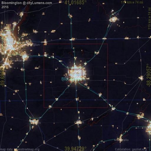

Analysis of Bloomington night lights 2016
Square area 10x10 km:
 30.27%
90-99
30.61%80-89
13.27%70-79
8.16%60-69
5.78%50-59
3.57%40-49
2.38%30-39
3.57%20-29
2.38%10-19
0%0-9
0%Square area 50x50 km:
1.69%90-99
1.75%80-89
1.53%70-79
0.94%60-69
0.81%50-59
0.74%40-49
0.89%30-39
1.19%20-29
2.53%10-19
3.97%0-9
83.96%Clear (daylight) street map image can be seen on geolist.org.
Map coordinates:
41° 1' 0.7" North, 89° 41' 48.6" West
40° 29' 3.1" North, 88° 59' 37.3" West
39° 56' 50.2" North, 88° 17' 26.1" West
Some cities around Bloomington sort by population:
• Normal
3.3 km =2.1 mi,  4°
4°
• East Peoria
53.5 km =33.2 mi,  292°
292°
• Washington
42.6 km =26.5 mi,  304°
304°
• Morton
41.9 km =26 mi, 289°
• Lincoln
48.8 km =30.3 mi,  220°
220°
• Clinton
36.8 km =22.9 mi,  176°
176°
• Eureka
35.4 km =22 mi,  318°
318°
• Creve Coeur
53.6 km =33.3 mi, 289°
4885164 (p: 78,292)
Sources (retrieved 2019-11-25):
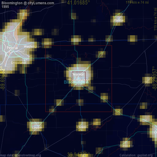
» NASA, Earths city lights 1995
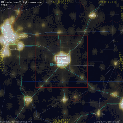
» NASA city lights 2003
» Earth at Night: Flat Maps 2012, 2016