Bloomington night lights from space
Night Light of Bloomington (Indiana) from space (United States) Src. Average luminocity for 10x10km area is 67.4692% and for 50x50km: 6.2248%.
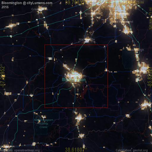
Analysis of Bloomington night lights 2016
Square area 10x10 km:
 16.23%
90-99
17.05%80-89
8.44%70-79
9.74%60-69
7.95%50-59
11.85%40-49
8.93%30-39
4.38%20-29
8.93%10-19
6.49%0-9
0%Square area 50x50 km:
0.87%90-99
1.01%80-89
0.74%70-79
0.7%60-69
0.75%50-59
0.86%40-49
0.99%30-39
1.06%20-29
1.83%10-19
3.74%0-9
87.45%Clear (daylight) street map image can be seen on geolist.org.
Map coordinates:
39° 42' 30.1" North, 87° 13' 46.3" West
39° 9' 55.2" North, 86° 31' 35" West
38° 37' 5.1" North, 85° 49' 23.8" West
Some cities around Bloomington sort by population:
• Columbus
52.3 km =32.5 mi,  85°
85°
• Franklin
53.6 km =33.3 mi,  49°
49°
• Bedford
34 km =21.1 mi,  174°
174°
• Martinsville
30.4 km =18.9 mi,  16°
16°
• Mooresville
51.4 km =31.9 mi,  14°
14°
• Bargersville
50.1 km =31.1 mi,  37°
37°
• Ellettsville
11.4 km =7.1 mi,  311°
311°
• Linton
57.1 km =35.5 mi,  255°
255°
4254679 (p: 84,067)
Sources (retrieved 2019-11-25):
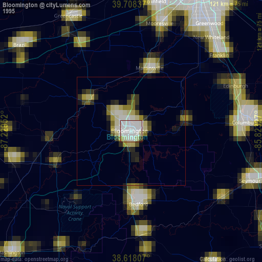
» NASA, Earths city lights 1995
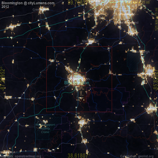
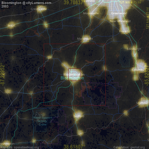
» NASA city lights 2003
» Earth at Night: Flat Maps 2012, 2016