Bedford night lights from space
Night Light of Bedford (Indiana) from space (United States) Src. Average luminocity for 10x10km area is 32.8844% and for 50x50km: 3.0552%.
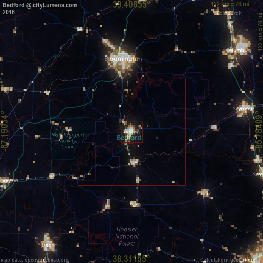
Analysis of Bedford night lights 2016
Square area 10x10 km:
 3.91%
3.91%90-99
5.61%80-89
3.74%70-79
4.59%60-69
6.12%50-59
3.06%40-49
3.91%30-39
5.44%20-29
5.1%10-19
38.1%0-9
20.41%Square area 50x50 km:
0.2%90-99
0.37%80-89
0.34%70-79
0.38%60-69
0.42%50-59
0.39%40-49
0.48%30-39
0.47%20-29
0.62%10-19
2.63%0-9
93.7%Clear (daylight) street map image can be seen on geolist.org.
Map coordinates:
39° 24' 23.6" North, 87° 11' 25.2" West
38° 51' 40.2" North, 86° 29' 14" West
38° 18' 41.6" North, 85° 47' 2.7" West
Some cities around Bedford sort by population:
• Bloomington
34 km =21.1 mi,  354°
354°
• Columbus
61.8 km =38.4 mi,  52°
52°
• Seymour
52.8 km =32.8 mi,  78°
78°
• Washington
63.5 km =39.5 mi,  249°
249°
• Martinsville
63.2 km =39.3 mi,  4°
4°
• Ellettsville
43.1 km =26.8 mi,  343°
343°
• Salem
43.9 km =27.3 mi,  130°
130°
• Linton
61.8 km =38.4 mi,  288°
288°
4254282 (p: 13,347)
Sources (retrieved 2019-11-25):
» Earth at Night: Flat Maps 2012, 2016