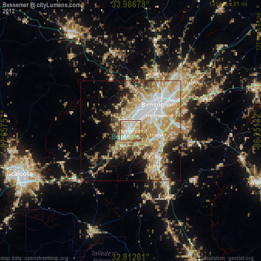
Bessemer night lights from space
Night Light of Bessemer (Alabama) from space (United States) Src. Average luminocity for 10x10km area is 81.9493% and for 50x50km: 42.4069%.
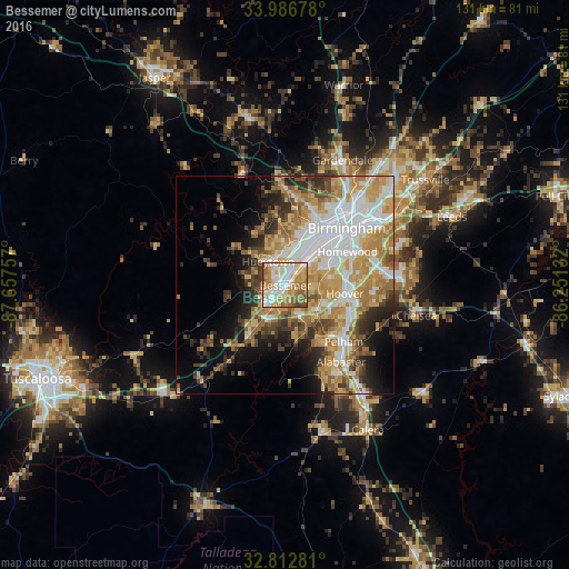
Analysis of Bessemer night lights 2016
Square area 10x10 km:
 19.06%
90-99
23.25%80-89
14.86%70-79
17.83%60-69
15.21%50-59
6.12%40-49
3.67%30-39
0%20-29
0%10-19
0%0-9
0%Square area 50x50 km:
9.52%90-99
7.38%80-89
6.65%70-79
8.43%60-69
7.54%50-59
4.16%40-49
4.37%30-39
4.69%20-29
5.28%10-19
7.93%0-9
34.05%Clear (daylight) street map image can be seen on geolist.org.
Map coordinates:
33° 59' 12.4" North, 87° 39' 27.3" West
33° 24' 6.4" North, 86° 57' 16" West
32° 48' 46.1" North, 86° 15' 4.8" West
Some cities around Bessemer sort by population:
• Hoover
13.3 km =8.3 mi,  88°
88°
• Vestavia Hills
16.3 km =10.1 mi,  71°
71°
• Homewood
16.2 km =10.1 mi,  61°
61°
• Helena
15.6 km =9.7 mi,  138°
138°
• Hueytown
6.8 km =4.2 mi,  324°
324°
• Fairfield
10.2 km =6.3 mi,  22°
22°
• Pleasant Grove
10 km =6.2 mi,  351°
351°
• Midfield
7.9 km =4.9 mi,  32°
32°
4048023 (p: 26,730)
Sources (retrieved 2019-11-25):
» Earth at Night: Flat Maps 2012, 2016