Vestavia Hills night lights from space
Night Light of Vestavia Hills (Alabama) from space (United States) Src. Average luminocity for 10x10km area is 87.5455% and for 50x50km: 51.7394%.
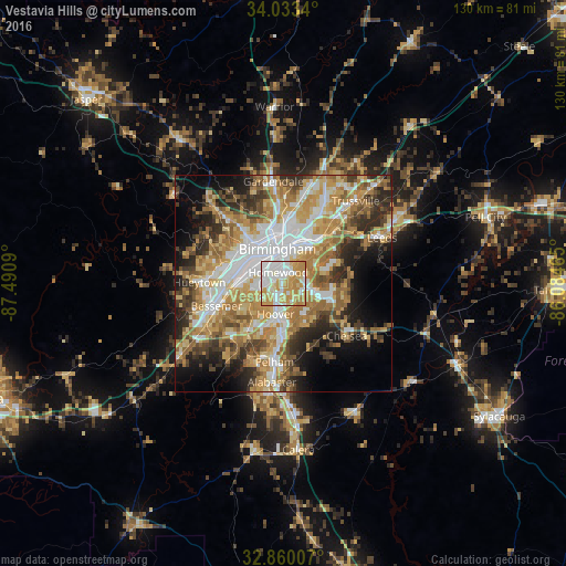
Analysis of Vestavia Hills night lights 2016
Square area 10x10 km:
 24.65%
90-99
26.22%80-89
13.81%70-79
31.12%60-69
4.2%50-59
0%40-49
0%30-39
0%20-29
0%10-19
0%0-9
0%Square area 50x50 km:
10.57%90-99
8.66%80-89
8.16%70-79
10.42%60-69
10.19%50-59
5.7%40-49
5.64%30-39
6.35%20-29
7.88%10-19
8.77%0-9
17.66%Clear (daylight) street map image can be seen on geolist.org.
Map coordinates:
34° 2' 0.2" North, 87° 29' 27.2" West
33° 26' 55.4" North, 86° 47' 16" West
32° 51' 36.3" North, 86° 5' 4.7" West
Some cities around Vestavia Hills sort by population:
• Birmingham
8.1 km =5 mi,  350°
350°
• Hoover
5.3 km =3.3 mi,  204°
204°
• Homewood
2.8 km =1.7 mi,  334°
334°
• Mountain Brook
6.7 km =4.2 mi,  29°
29°
• Meadowbrook
9.9 km =6.2 mi,  121°
121°
• Lake Purdy
10.2 km =6.3 mi,  101°
101°
• Brook Highland
10.7 km =6.6 mi, 97°
• Cahaba Heights
5.5 km =3.4 mi,  71°
71°
4095415 (p: 34,174)
Sources (retrieved 2019-11-25):
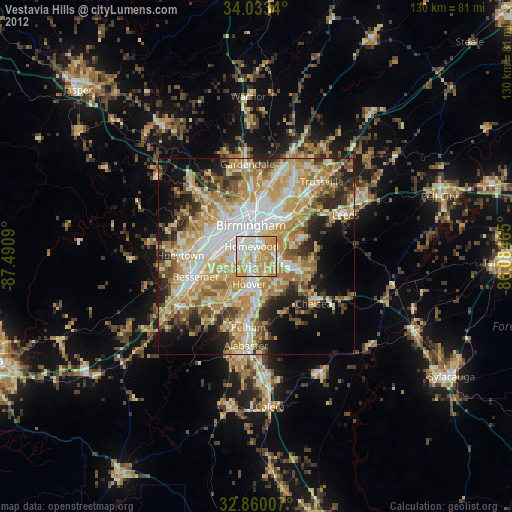
» Earth at Night: Flat Maps 2012, 2016