Kearny night lights from space
Night Light of Kearny (New Jersey) from space (United States) Src. Average luminocity for 10x10km area is 96.6104% and for 50x50km: 85.9453%.
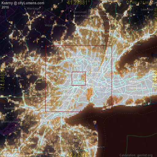
Analysis of Kearny night lights 2016
Square area 10x10 km:
 61.53%
90-99
24.19%80-89
7.31%70-79
6.98%60-69
0%50-59
0%40-49
0%30-39
0%20-29
0%10-19
0%0-9
0%Square area 50x50 km:
41.77%90-99
20.69%80-89
8.56%70-79
10.2%60-69
7.81%50-59
3.4%40-49
2.22%30-39
1.85%20-29
1.68%10-19
1.54%0-9
0.29%Clear (daylight) street map image can be seen on geolist.org.
Map coordinates:
41° 17' 55.7" North, 74° 50' 54.8" West
40° 46' 6.3" North, 74° 8' 43.5" West
40° 14' 1.6" North, 73° 26' 32.3" West
Some cities around Kearny sort by population:
• Newark
4.3 km =2.7 mi,  211°
211°
• East Orange
5 km =3.1 mi,  268°
268°
• Bloomfield
5.4 km =3.4 mi,  321°
321°
• Belleville
2.8 km =1.7 mi,  351°
351°
• Nutley
6.1 km =3.8 mi, 348°
• Lyndhurst
5.2 km =3.2 mi,  20°
20°
• North Arlington
2.5 km =1.6 mi, 24°
• Harrison
2.6 km =1.6 mi,  200°
200°
5099967 (p: 42,137)
Sources (retrieved 2019-11-25):
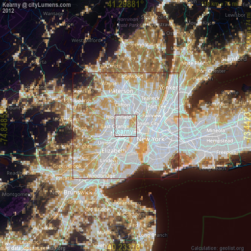
» Earth at Night: Flat Maps 2012, 2016