Belleville night lights from space
Night Light of Belleville (Illinois) from space (United States) Src. Average luminocity for 10x10km area is 78.5812% and for 50x50km: 38.2446%.
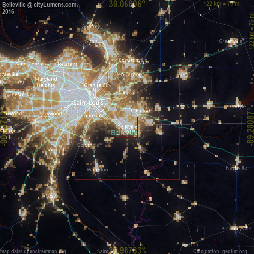
Analysis of Belleville night lights 2016
Square area 10x10 km:
 23.7%
23.7%90-99
23.38%80-89
13.96%70-79
10.23%60-69
4.06%50-59
6.98%40-49
7.14%30-39
4.38%20-29
6.17%10-19
0%0-9
0%Square area 50x50 km:
9.08%90-99
7.85%80-89
4.87%70-79
5.23%60-69
5.93%50-59
5.35%40-49
3.95%30-39
4.45%20-29
4.99%10-19
9.32%0-9
38.98%Clear (daylight) street map image can be seen on geolist.org.
Map coordinates:
39° 4' 5" North, 90° 41' 13.6" West
38° 31' 12.2" North, 89° 59' 2.4" West
37° 58' 4.2" North, 89° 16' 51.1" West
Some cities around Belleville sort by population:
• O'Fallon
10.2 km =6.3 mi,  38°
38°
• East Saint Louis
18.6 km =11.6 mi,  308°
308°
• Collinsville
16.7 km =10.4 mi,  359°
359°
• Fairview Heights
7.7 km =4.8 mi, 355°
• Swansea
1.6 km =1 mi,  344°
344°
• Shiloh
8.8 km =5.5 mi,  58°
58°
• Mascoutah
16.9 km =10.5 mi,  101°
101°
• Centreville
14.1 km =8.8 mi,  299°
299°
4233813 (p: 42,034)
Sources (retrieved 2019-11-25):
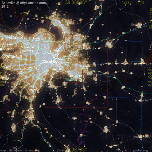
» Earth at Night: Flat Maps 2012, 2016