Maywood night lights from space
Night Light of Maywood (California) from space (United States) Src. Average luminocity for 10x10km area is 99.9003% and for 50x50km: 89.9402%.
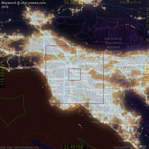
Analysis of Maywood night lights 2016
Square area 10x10 km:
 91.08%
90-99
8.92%80-89
0%70-79
0%60-69
0%50-59
0%40-49
0%30-39
0%20-29
0%10-19
0%0-9
0%Square area 50x50 km:
52.34%90-99
23.11%80-89
6.18%70-79
6.27%60-69
4.25%50-59
1.74%40-49
1.02%30-39
1.06%20-29
1.37%10-19
1.77%0-9
0.89%Clear (daylight) street map image can be seen on geolist.org.
Map coordinates:
34° 34' 3.6" North, 118° 53' 18.5" West
33° 59' 12" North, 118° 11' 7.3" West
33° 24' 6" North, 117° 28' 56" West
Some cities around Maywood sort by population:
• East Los Angeles
4.3 km =2.7 mi,  16°
16°
• South Gate
4.3 km =2.7 mi,  214°
214°
• Huntington Park
3.7 km =2.3 mi,  261°
261°
• Bell Gardens
3.9 km =2.4 mi,  127°
127°
• Bell
1 km =0.6 mi,  188°
188°
• Cudahy
2.9 km =1.8 mi,  180°
180°
• Walnut Park
4.2 km =2.6 mi,  240°
240°
• Commerce
2.8 km =1.7 mi,  56°
56°
5371261 (p: 27,888)
Sources (retrieved 2019-11-25):
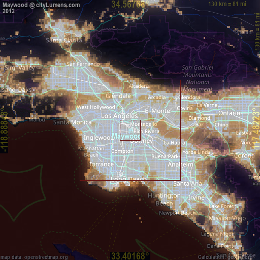
» Earth at Night: Flat Maps 2012, 2016