Avon Lake night lights from space
Night Light of Avon Lake (Ohio) from space (United States) Src. Average luminocity for 10x10km area is 56.8146% and for 50x50km: 31.9687%.
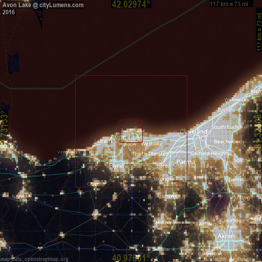
Analysis of Avon Lake night lights 2016
Square area 10x10 km:
 9.69%
9.69%90-99
15.82%80-89
12.24%70-79
7.14%60-69
11.9%50-59
1.7%40-49
0.68%30-39
1.36%20-29
15.65%10-19
20.24%0-9
3.57%Square area 50x50 km:
7.59%90-99
7.24%80-89
4.33%70-79
4.22%60-69
6.57%50-59
2.66%40-49
2.35%30-39
3.13%20-29
5.63%10-19
7.83%0-9
48.45%Clear (daylight) street map image can be seen on geolist.org.
Map coordinates:
42° 1' 47.1" North, 82° 43' 52.8" West
41° 30' 19.2" North, 82° 1' 41.5" West
40° 58' 35.8" North, 81° 19' 30.3" West
Some cities around Avon Lake sort by population:
• Lorain
14.1 km =8.8 mi,  245°
245°
• North Ridgeville
12.9 km =8 mi,  176°
176°
• Westlake
10.7 km =6.6 mi,  121°
121°
• North Olmsted
13.3 km =8.3 mi,  138°
138°
• Avon
6 km =3.7 mi,  185°
185°
• Fairview Park
15.4 km =9.6 mi, 117°
• Bay Village
9.1 km =5.7 mi,  104°
104°
• Sheffield Lake
6.4 km =4 mi, 252°
5146286 (p: 23,453)
Sources (retrieved 2019-11-25):
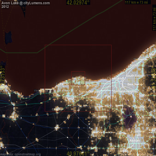
» Earth at Night: Flat Maps 2012, 2016