Westlake night lights from space
Night Light of Westlake (Ohio) from space (United States) Src. Average luminocity for 10x10km area is 84.5493% and for 50x50km: 43.0317%.
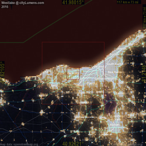
Analysis of Westlake night lights 2016
Square area 10x10 km:
 23.81%
90-99
26.7%80-89
15.65%70-79
18.03%60-69
9.01%50-59
0.85%40-49
1.19%30-39
4.76%20-29
0%10-19
0%0-9
0%Square area 50x50 km:
12.07%90-99
9.56%80-89
4.83%70-79
5.18%60-69
8.38%50-59
4.54%40-49
3.42%30-39
3.73%20-29
6.63%10-19
7.63%0-9
34.04%Clear (daylight) street map image can be seen on geolist.org.
Map coordinates:
41° 58' 48.5" North, 82° 37' 15.8" West
41° 27' 19.2" North, 81° 55' 4.5" West
40° 55' 34.4" North, 81° 12' 53.3" West
Some cities around Westlake sort by population:
• Lakewood
10.4 km =6.5 mi,  73°
73°
• North Olmsted
4.4 km =2.7 mi,  185°
185°
• Avon
9.8 km =6.1 mi,  267°
267°
• Rocky River
6.9 km =4.3 mi, 71°
• Fairview Park
4.7 km =2.9 mi,  109°
109°
• Avon Center
8.5 km =5.3 mi, 273°
• Bay Village
3.3 km =2.1 mi,  353°
353°
• Olmsted Falls
9 km =5.6 mi,  174°
174°
5176517 (p: 32,428)
Sources (retrieved 2019-11-25):
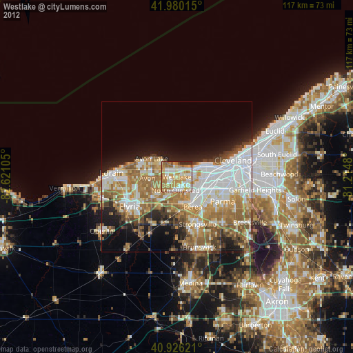
» Earth at Night: Flat Maps 2012, 2016