Lorain night lights from space
Night Light of Lorain (Ohio) from space (United States) Src. Average luminocity for 10x10km area is 67.7993% and for 50x50km: 22.8351%.
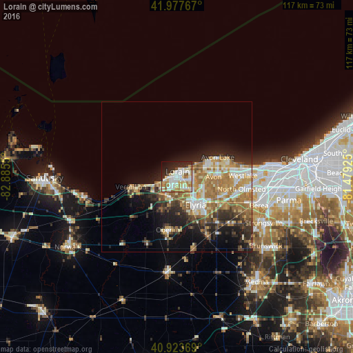
Analysis of Lorain night lights 2016
Square area 10x10 km:
 12.76%
90-99
28.74%80-89
11.73%70-79
5.1%60-69
7.82%50-59
3.4%40-49
1.02%30-39
3.06%20-29
17.18%10-19
7.99%0-9
1.19%Square area 50x50 km:
2.86%90-99
4.69%80-89
3.4%70-79
3.03%60-69
5.59%50-59
2.67%40-49
2.23%30-39
3%20-29
5.7%10-19
8.64%0-9
58.19%Clear (daylight) street map image can be seen on geolist.org.
Map coordinates:
41° 58' 39.6" North, 82° 53' 7.8" West
41° 27' 10.2" North, 82° 10' 56.5" West
40° 55' 25.3" North, 81° 28' 45.3" West
Some cities around Lorain sort by population:
• Elyria
11.3 km =7 mi,  146°
146°
• North Ridgeville
15.3 km =9.5 mi,  117°
117°
• Avon Lake
14.1 km =8.8 mi,  65°
65°
• Avon
12.2 km =7.6 mi,  90°
90°
• Avon Center
13.6 km =8.5 mi, 86°
• Amherst
7 km =4.3 mi,  208°
208°
• Vermilion-on-the-Lake
12.1 km =7.5 mi,  257°
257°
• Sheffield Lake
7.8 km =4.8 mi,  60°
60°
5161262 (p: 63,647)
Sources (retrieved 2019-11-25):
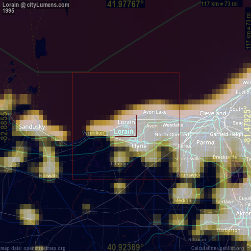
» NASA, Earths city lights 1995
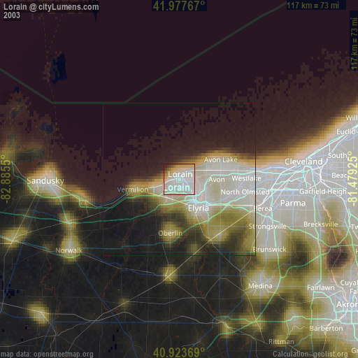
» NASA city lights 2003
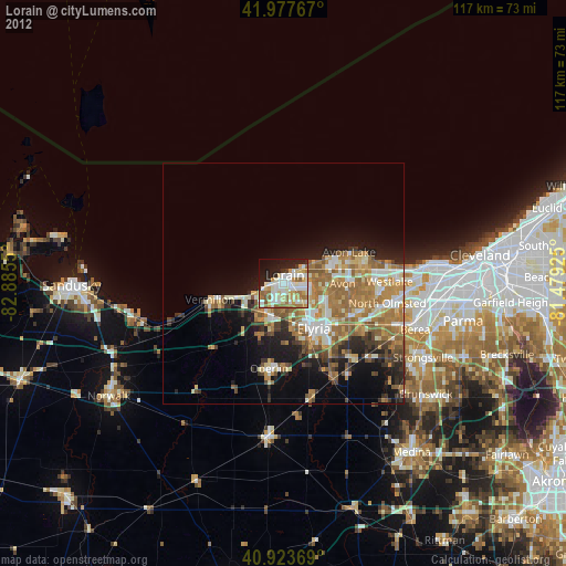
» Earth at Night: Flat Maps 2012, 2016