North Ridgeville night lights from space
Night Light of North Ridgeville (Ohio) from space (United States) Src. Average luminocity for 10x10km area is 71.0374% and for 50x50km: 38.3054%.
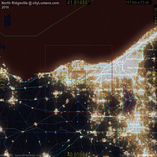
Analysis of North Ridgeville night lights 2016
Square area 10x10 km:
 5.95%
5.95%90-99
11.39%80-89
11.22%70-79
14.63%60-69
39.12%50-59
11.9%40-49
2.21%30-39
3.57%20-29
0%10-19
0%0-9
0%Square area 50x50 km:
8.46%90-99
7.96%80-89
4.89%70-79
4.78%60-69
7.49%50-59
4.08%40-49
3.48%30-39
4.51%20-29
8.5%10-19
10.5%0-9
35.35%Clear (daylight) street map image can be seen on geolist.org.
Map coordinates:
41° 54' 53.5" North, 82° 43' 19.8" West
41° 23' 22.2" North, 82° 1' 8.5" West
40° 51' 35.4" North, 81° 18' 57.3" West
Some cities around North Ridgeville sort by population:
• Elyria
7.8 km =4.8 mi,  252°
252°
• Westlake
11.2 km =7 mi,  49°
49°
• Avon Lake
12.9 km =8 mi,  356°
356°
• Avon
7.1 km =4.4 mi,  348°
348°
• Avon Center
7.8 km =4.8 mi, 359°
• Bay Village
13.3 km =8.3 mi,  37°
37°
• Sheffield Lake
12.9 km =8 mi,  327°
327°
• Olmsted Falls
9.4 km =5.8 mi,  99°
99°
5164903 (p: 32,483)
Sources (retrieved 2019-11-25):
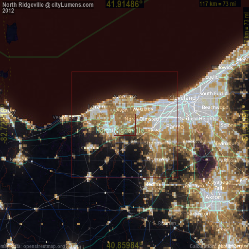
» Earth at Night: Flat Maps 2012, 2016