Avon night lights from space
Night Light of Avon (Ohio) from space (United States) Src. Average luminocity for 10x10km area is 77.119% and for 50x50km: 35.1253%.
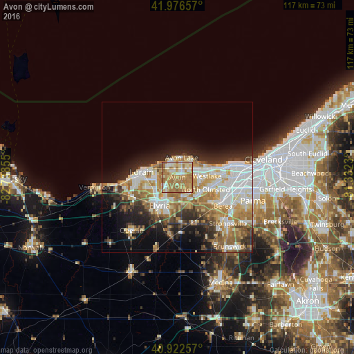
Analysis of Avon night lights 2016
Square area 10x10 km:
 9.35%
9.35%90-99
14.97%80-89
17.86%70-79
14.29%60-69
38.27%50-59
5.27%40-49
0%30-39
0%20-29
0%10-19
0%0-9
0%Square area 50x50 km:
7.8%90-99
7.63%80-89
4.6%70-79
4.54%60-69
7.27%50-59
3.67%40-49
2.82%30-39
3.77%20-29
6.54%10-19
9.14%0-9
42.22%Clear (daylight) street map image can be seen on geolist.org.
Map coordinates:
41° 58' 35.7" North, 82° 44' 18.8" West
41° 27' 6.2" North, 82° 2' 7.5" West
40° 55' 21.3" North, 81° 19' 56.3" West
Some cities around Avon sort by population:
• Elyria
11.1 km =6.9 mi,  213°
213°
• North Ridgeville
7.1 km =4.4 mi,  168°
168°
• Westlake
9.8 km =6.1 mi,  87°
87°
• North Olmsted
10.2 km =6.3 mi,  113°
113°
• Avon Lake
6 km =3.7 mi,  5°
5°
• Avon Center
1.6 km =1 mi,  55°
55°
• Bay Village
10.1 km =6.3 mi,  68°
68°
• Sheffield Lake
6.8 km =4.2 mi,  305°
305°
5146277 (p: 22,544)
Sources (retrieved 2019-11-25):
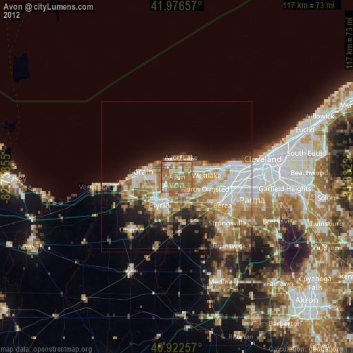
» Earth at Night: Flat Maps 2012, 2016