Ironwood night lights from space
Night Light of Ironwood (Michigan) from space (United States) Src. Average luminocity for 10x10km area is 11.1458% and for 50x50km: 0.6316%.
Analysis of Ironwood night lights 2016
Square area 10x10 km:
 1.04%
1.04%90-99
0.15%80-89
1.04%70-79
1.19%60-69
2.98%50-59
4.46%40-49
1.19%30-39
0.6%20-29
2.68%10-19
0.6%0-9
84.08%Square area 50x50 km:
0.04%90-99
0.01%80-89
0.06%70-79
0.08%60-69
0.13%50-59
0.21%40-49
0.06%30-39
0.1%20-29
0.26%10-19
0.09%0-9
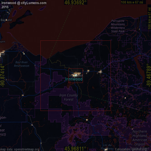
98.95%Clear (daylight) street map image can be seen on geolist.org.
Map coordinates:
46° 56' 12.9" North, 90° 52' 26.9" West
46° 27' 16.8" North, 90° 10' 15.6" West
45° 58' 5.2" North, 89° 28' 4.4" West
Some cities around Ironwood sort by population:
• Duluth
152.3 km =94.6 mi,  283°
283°
• Superior
150.6 km =93.6 mi, 281°
• Merrill
146.6 km =91.1 mi,  165°
165°
• Rice Lake
160.6 km =99.8 mi,  228°
228°
• Ashland
56.6 km =35.2 mi,  285°
285°
• Houghton
142.7 km =88.7 mi,  58°
58°
• Rhinelander
108.2 km =67.2 mi,  147°
147°
• Iron River
124.2 km =77.2 mi,  108°
108°
4997249 (p: 5,002)
Sources (retrieved 2019-11-25):
» Earth at Night: Flat Maps 2012, 2016