Kennedale night lights from space
Night Light of Kennedale (Texas) from space (United States) Src. Average luminocity for 10x10km area is 76.8986% and for 50x50km: 71.828%.
Analysis of Kennedale night lights 2016
Square area 10x10 km:
 13.11%
90-99
14.69%80-89
18.36%70-79
14.51%60-69
20.8%50-59
17.83%40-49
0.7%30-39
0%20-29
0%10-19
0%0-9
0%Square area 50x50 km:
20%90-99
19.15%80-89
11.73%70-79
9.25%60-69
7.9%50-59
8.3%40-49
6.21%30-39
5.12%20-29
6.54%10-19
4.2%0-9
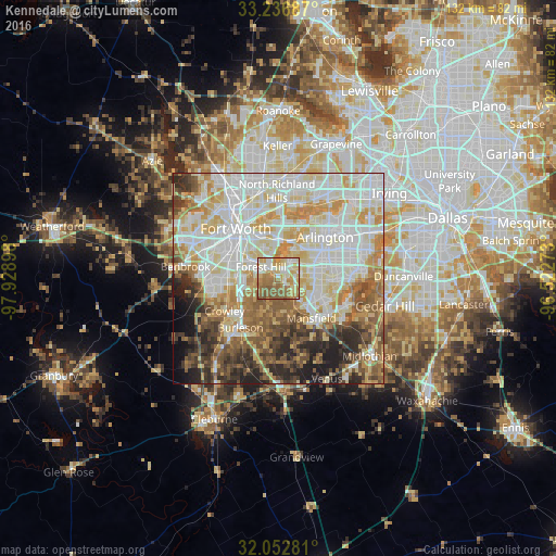
1.59%Clear (daylight) street map image can be seen on geolist.org.
Map coordinates:
33° 14' 12.7" North, 97° 55' 44.3" West
32° 38' 48.5" North, 97° 13' 33.1" West
32° 3' 10.1" North, 96° 31' 21.8" West
Some cities around Kennedale sort by population:
• Fort Worth
12.5 km =7.8 mi,  314°
314°
• Arlington
14.8 km =9.2 mi,  48°
48°
• Mansfield
12.2 km =7.6 mi,  139°
139°
• Burleson
14.7 km =9.1 mi,  217°
217°
• Crowley
14.9 km =9.3 mi,  239°
239°
• Forest Hill
4.9 km =3 mi,  304°
304°
• Rendon
8 km =5 mi,  190°
190°
• Everman
6.2 km =3.9 mi,  253°
253°
4702986 (p: 7,715)
Sources (retrieved 2019-11-25):
» Earth at Night: Flat Maps 2012, 2016