Altoona night lights from space
Night Light of Altoona (Pennsylvania) from space (United States) Src. Average luminocity for 10x10km area is 48.9201% and for 50x50km: 6.3239%.
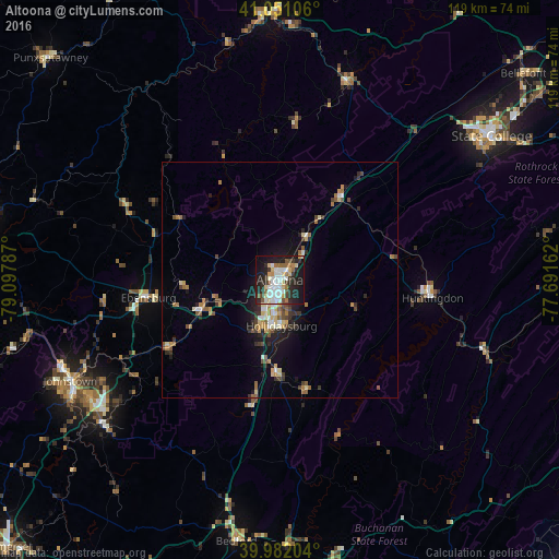
Analysis of Altoona night lights 2016
Square area 10x10 km:
 11.05%
90-99
11.39%80-89
7.65%70-79
2.72%60-69
4.76%50-59
5.27%40-49
3.74%30-39
6.12%20-29
20.92%10-19
24.32%0-9
2.04%Square area 50x50 km:
0.72%90-99
0.84%80-89
0.92%70-79
0.58%60-69
0.99%50-59
0.89%40-49
0.79%30-39
0.98%20-29
1.76%10-19
3.79%0-9
87.73%Clear (daylight) street map image can be seen on geolist.org.
Map coordinates:
41° 3' 3.8" North, 79° 5' 52.3" West
40° 31' 7.2" North, 78° 23' 41.1" West
39° 58' 55.3" North, 77° 41' 29.8" West
Some cities around Altoona sort by population:
• State College
54.5 km =33.9 mi,  55°
55°
• Johnstown
49.5 km =30.8 mi,  244°
244°
• Shiloh
58.8 km =36.5 mi,  8°
8°
• Park Forest Village
51.5 km =32 mi,  51°
51°
• Huntingdon
32.7 km =20.3 mi,  96°
96°
• Clearfield
56.7 km =35.2 mi,  356°
356°
• Hollidaysburg
10.2 km =6.3 mi,  177°
177°
• Tyrone
21.4 km =13.3 mi,  37°
37°
5178195 (p: 45,344)
Sources (retrieved 2019-11-25):
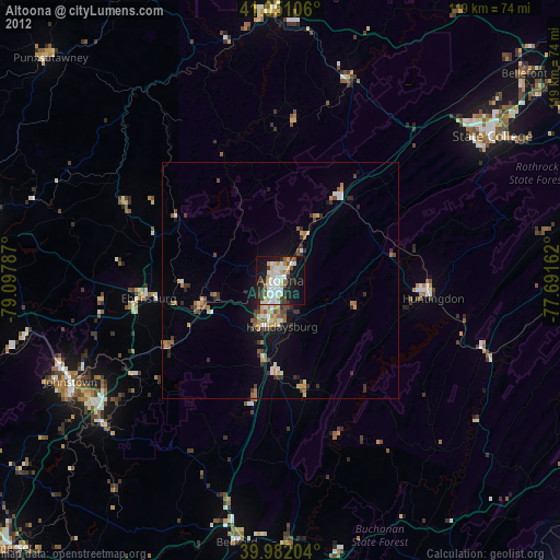
» Earth at Night: Flat Maps 2012, 2016