Johnstown night lights from space
Night Light of Johnstown (Pennsylvania) from space (United States) Src. Average luminocity for 10x10km area is 45.6412% and for 50x50km: 6.7105%.
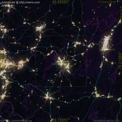
Analysis of Johnstown night lights 2016
Square area 10x10 km:
 4.59%
4.59%90-99
6.29%80-89
4.42%70-79
9.35%60-69
9.35%50-59
7.82%40-49
11.22%30-39
6.29%20-29
13.44%10-19
23.64%0-9
3.57%Square area 50x50 km:
0.47%90-99
0.73%80-89
0.64%70-79
0.75%60-69
1.22%50-59
1.18%40-49
1.27%30-39
1.31%20-29
1.8%10-19
4.01%0-9
86.62%Clear (daylight) street map image can be seen on geolist.org.
Map coordinates:
40° 51' 38.3" North, 79° 37' 30.4" West
40° 19' 36.3" North, 78° 55' 19.1" West
39° 47' 18.9" North, 78° 13' 7.9" West
Some cities around Johnstown sort by population:
• Altoona
49.5 km =30.8 mi,  64°
64°
• Greensburg
52.4 km =32.6 mi,  266°
266°
• Indiana
38.1 km =23.7 mi,  329°
329°
• Jeannette
58.8 km =36.5 mi, 270°
• Latrobe
38.8 km =24.1 mi, 269°
• Somerset
37.8 km =23.5 mi,  200°
200°
• Hollidaysburg
46.5 km =28.9 mi,  76°
76°
• Vandergrift
62.4 km =38.8 mi,  299°
299°
5195561 (p: 19,966)
Sources (retrieved 2019-11-25):
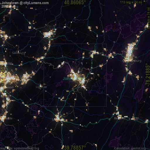
» Earth at Night: Flat Maps 2012, 2016