Mount Greenwood night lights from space
Night Light of Mount Greenwood (Illinois) from space (United States) Src. Average luminocity for 10x10km area is 99.487% and for 50x50km: 79.2479%.
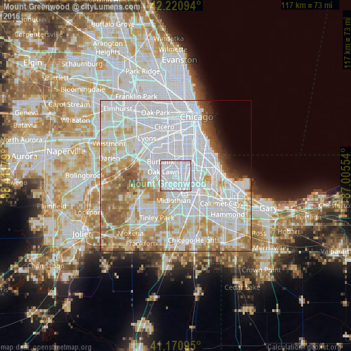
Analysis of Mount Greenwood night lights 2016
Square area 10x10 km:
 81.49%
90-99
17.05%80-89
1.3%70-79
0%60-69
0.16%50-59
0%40-49
0%30-39
0%20-29
0%10-19
0%0-9
0%Square area 50x50 km:
38.21%90-99
18.87%80-89
8.58%70-79
7.71%60-69
7.29%50-59
5.43%40-49
2.11%30-39
1.24%20-29
1.13%10-19
1.5%0-9
7.93%Clear (daylight) street map image can be seen on geolist.org.
Map coordinates:
42° 13' 15.4" North, 88° 24' 42.4" West
41° 41' 53.1" North, 87° 42' 31.2" West
41° 10' 15.4" North, 87° 0' 19.9" West
Some cities around Mount Greenwood sort by population:
• Oak Lawn
4.3 km =2.7 mi,  289°
289°
• Ashburn
5.5 km =3.4 mi,  357°
357°
• Blue Island
5.1 km =3.2 mi,  152°
152°
• Morgan Park
3.6 km =2.2 mi,  103°
103°
• Evergreen Park
2.6 km =1.6 mi,  12°
12°
• Alsip
4.1 km =2.5 mi,  217°
217°
• Chicago Ridge
5.9 km =3.7 mi,  273°
273°
• Calumet Park
5.6 km =3.5 mi,  134°
134°
4902900 (p: 18,783)
Sources (retrieved 2019-11-25):
» Earth at Night: Flat Maps 2012, 2016