Oak Lawn night lights from space
Night Light of Oak Lawn (Illinois) from space (United States) Src. Average luminocity for 10x10km area is 99.0227% and for 50x50km: 82.8765%.
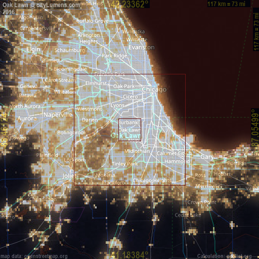
Analysis of Oak Lawn night lights 2016
Square area 10x10 km:
 75.81%
90-99
21.1%80-89
3.08%70-79
0%60-69
0%50-59
0%40-49
0%30-39
0%20-29
0%10-19
0%0-9
0%Square area 50x50 km:
40.44%90-99
20%80-89
9%70-79
8.12%60-69
7.34%50-59
5.14%40-49
1.85%30-39
1.16%20-29
0.95%10-19
1.23%0-9
4.77%Clear (daylight) street map image can be seen on geolist.org.
Map coordinates:
42° 14' 1" North, 88° 27' 40.5" West
41° 42' 39.1" North, 87° 45' 29.2" West
41° 11' 1.8" North, 87° 3' 18" West
Some cities around Oak Lawn sort by population:
• Ashburn
5.6 km =3.5 mi,  43°
43°
• Burbank
3.1 km =1.9 mi,  325°
325°
• Evergreen Park
4.8 km =3 mi,  76°
76°
• Alsip
4.9 km =3 mi,  160°
160°
• Mount Greenwood
4.3 km =2.7 mi,  109°
109°
• Palos Hills
5.1 km =3.2 mi,  252°
252°
• Chicago Ridge
2 km =1.2 mi,  239°
239°
• Worth
4 km =2.5 mi,  234°
234°
4904365 (p: 56,781)
Sources (retrieved 2019-11-25):
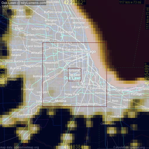
» NASA, Earths city lights 1995
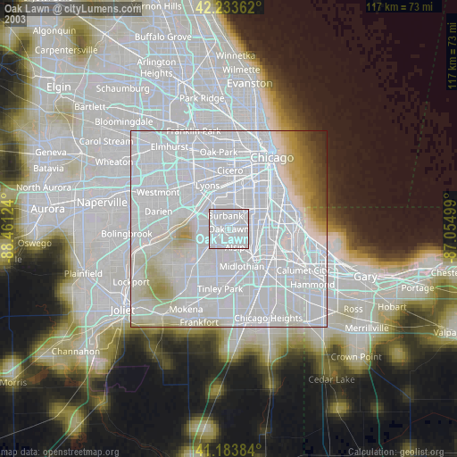
» NASA city lights 2003
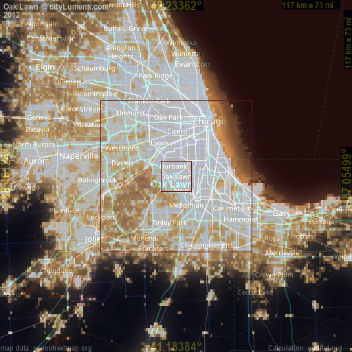
» Earth at Night: Flat Maps 2012, 2016