Ojinaga night lights from space
Night Light of Ojinaga (Chihuahua) from space (Mexico) Src. Average luminocity for 10x10km area is 0.0284% and for 50x50km: 1.8928%.
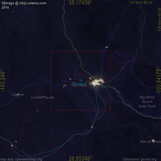
Analysis of Ojinaga night lights 2016
Square area 10x10 km:
 0%
0%90-99
0%80-89
0%70-79
0%60-69
0%50-59
0%40-49
0%30-39
0%20-29
0%10-19
0%0-9
100%Square area 50x50 km:
0.22%90-99
0.2%80-89
0.43%70-79
0.28%60-69
0.22%50-59
0.15%40-49
0.16%30-39
0.13%20-29
0.17%10-19
2.15%0-9
95.89%Clear (daylight) street map image can be seen on geolist.org.
Map coordinates:
30° 10' 35.7" North, 105° 14' 52.8" West
29° 34' 0.8" North, 104° 32' 41.5" West
28° 57' 12.5" North, 103° 50' 30.3" West
Some cities around Ojinaga sort by population:
• Jiménez
160.4 km =99.7 mi,  211°
211°
• Manuel Ojinaga
12.4 km =7.7 mi,  91°
91°
• Meoqui
170.3 km =105.8 mi, 212°
• Aldama
155.7 km =96.7 mi,  238°
238°
• Lázaro Cárdenas
167.7 km =104.2 mi,  218°
218°
• Ampliación Colonia Lázaro Cárdenas
167.9 km =104.3 mi, 218°
• Santa Eulalia
169.5 km =105.3 mi,  230°
230°
• Alpine, US
122.4 km =76.1 mi,  44°
44°
3994469 (p: 22,128)
Sources (retrieved 2019-11-25):
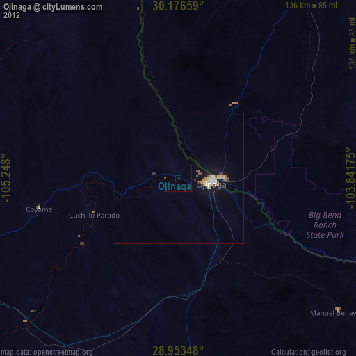
» Earth at Night: Flat Maps 2012, 2016