Manuel Ojinaga night lights from space
Night Light of Manuel Ojinaga (Chihuahua) from space (Mexico) Src. Average luminocity for 10x10km area is 34.8636% and for 50x50km: 1.8595%.
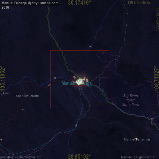
Analysis of Manuel Ojinaga night lights 2016
Square area 10x10 km:
 5.49%
5.49%90-99
5.11%80-89
9.28%70-79
5.68%60-69
3.6%50-59
1.7%40-49
1.33%30-39
2.46%20-29
3.22%10-19
40.34%0-9
21.78%Square area 50x50 km:
0.22%90-99
0.2%80-89
0.43%70-79
0.28%60-69
0.22%50-59
0.15%40-49
0.09%30-39
0.13%20-29
0.17%10-19
2.15%0-9
95.97%Clear (daylight) street map image can be seen on geolist.org.
Map coordinates:
30° 10' 27" North, 105° 7' 10.3" West
29° 33' 52" North, 104° 24' 59" West
28° 57' 3.7" North, 103° 42' 47.8" West
Some cities around Manuel Ojinaga sort by population:
• Jiménez
167 km =103.8 mi,  214°
214°
• Meoqui
177.1 km =110 mi,  215°
215°
• Ojinaga
12.4 km =7.7 mi,  271°
271°
• Aldama
166.4 km =103.4 mi,  240°
240°
• Lázaro Cárdenas
175.6 km =109.1 mi, 221°
• Ampliación Colonia Lázaro Cárdenas
175.7 km =109.2 mi, 221°
• Santa Eulalia
179.1 km =111.3 mi,  232°
232°
• Alpine, US
114.4 km =71.1 mi,  39°
39°
8858105 (p: 22,744)
Sources (retrieved 2019-11-25):
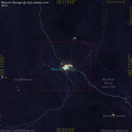
» Earth at Night: Flat Maps 2012, 2016