Alpena night lights from space
Night Light of Alpena (Michigan) from space (United States) Src. Average luminocity for 10x10km area is 25.553% and for 50x50km: 1.239%.
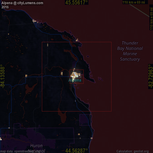
Analysis of Alpena night lights 2016
Square area 10x10 km:
 3.18%
3.18%90-99
3.94%80-89
4.85%70-79
4.24%60-69
2.88%50-59
2.12%40-49
3.48%30-39
2.73%20-29
0.45%10-19
29.09%0-9
43.03%Square area 50x50 km:
0.13%90-99
0.16%80-89
0.22%70-79
0.19%60-69
0.13%50-59
0.1%40-49
0.17%30-39
0.14%20-29
0.1%10-19
1.24%0-9
97.43%Clear (daylight) street map image can be seen on geolist.org.
Map coordinates:
45° 33' 22.2" North, 84° 8' 9.2" West
45° 3' 42" North, 83° 25' 57.9" West
44° 33' 46.3" North, 82° 43' 46.7" West
Some cities around Alpena sort by population:
• Midland
173.3 km =107.7 mi,  201°
201°
• Bay City
167.1 km =103.8 mi,  192°
192°
• Traverse City
175.4 km =109 mi,  259°
259°
• Sault Ste. Marie
174.4 km =108.4 mi,  336°
336°
• Elliot Lake, CA
159.5 km =99.1 mi,  22°
22°
• Kincardine, CA
172.7 km =107.3 mi,  124°
124°
• Bay Harbor
133.5 km =83 mi,  284°
284°
• Petoskey
124.2 km =77.2 mi,  286°
286°
4984075 (p: 10,175)
Sources (retrieved 2019-11-25):
» Earth at Night: Flat Maps 2012, 2016