Bay City night lights from space
Night Light of Bay City (Michigan) from space (United States) Src. Average luminocity for 10x10km area is 62.3076% and for 50x50km: 13.281%.
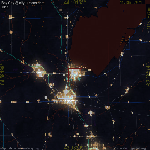
Analysis of Bay City night lights 2016
Square area 10x10 km:
 12.58%
90-99
13.03%80-89
10%70-79
12.27%60-69
6.82%50-59
8.94%40-49
7.73%30-39
6.36%20-29
15.61%10-19
6.52%0-9
0.15%Square area 50x50 km:
1.69%90-99
2.3%80-89
1.73%70-79
1.59%60-69
1.98%50-59
1.83%40-49
1.7%30-39
1.9%20-29
4.15%10-19
8.72%0-9
72.41%Clear (daylight) street map image can be seen on geolist.org.
Map coordinates:
44° 6' 5.6" North, 84° 35' 31.2" West
43° 35' 40.1" North, 83° 53' 19.9" West
43° 4' 59.1" North, 83° 11' 8.7" West
Some cities around Bay City sort by population:
• Saginaw
20.1 km =12.5 mi,  194°
194°
• Midland
28.9 km =18 mi,  274°
274°
• Saginaw Township North
17.7 km =11 mi,  212°
212°
• Freeland
20.4 km =12.7 mi,  247°
247°
• Bridgeport
26.1 km =16.2 mi,  178°
178°
• Buena Vista
19.4 km =12.1 mi, 182°
• Shields
24.1 km =15 mi, 214°
• Carrollton
15.5 km =9.6 mi, 192°
4985180 (p: 33,917)
Sources (retrieved 2019-11-25):
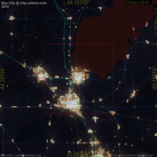
» Earth at Night: Flat Maps 2012, 2016