Adelphi night lights from space
Night Light of Adelphi (Maryland) from space (United States) Src. Average luminocity for 10x10km area is 94.6282% and for 50x50km: 79.0737%.
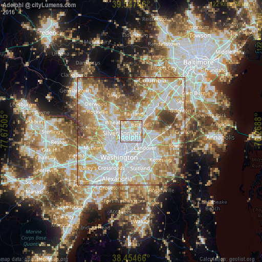
Analysis of Adelphi night lights 2016
Square area 10x10 km:
 48.05%
90-99
26.62%80-89
18.34%70-79
6.82%60-69
0.16%50-59
0%40-49
0%30-39
0%20-29
0%10-19
0%0-9
0%Square area 50x50 km:
25.72%90-99
20.38%80-89
11.08%70-79
13.33%60-69
9.76%50-59
7.51%40-49
4.03%30-39
3.54%20-29
2.23%10-19
2.16%0-9
0.24%Clear (daylight) street map image can be seen on geolist.org.
Map coordinates:
39° 32' 50.9" North, 77° 40' 30.2" West
39° 0' 11.4" North, 76° 58' 18.9" West
38° 27' 16.8" North, 76° 16' 7.7" West
Some cities around Adelphi sort by population:
• Silver Spring
4.9 km =3 mi,  253°
253°
• Chillum
4.7 km =2.9 mi,  200°
200°
• College Park
3.9 km =2.4 mi,  129°
129°
• Langley Park
1.8 km =1.1 mi,  206°
206°
• Takoma Park
4.2 km =2.6 mi,  227°
227°
• White Oak
4.5 km =2.8 mi,  335°
335°
• Four Corners
4 km =2.5 mi,  298°
298°
• Hillandale
2.6 km =1.6 mi,  355°
355°
4346991 (p: 15,086)
Sources (retrieved 2019-11-25):
» Earth at Night: Flat Maps 2012, 2016