College Park night lights from space
Night Light of College Park (Maryland) from space (United States) Src. Average luminocity for 10x10km area is 95.7435% and for 50x50km: 78.1358%.
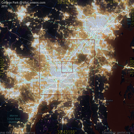
Analysis of College Park night lights 2016
Square area 10x10 km:
 55.68%
90-99
25.49%80-89
12.66%70-79
5.84%60-69
0.32%50-59
0%40-49
0%30-39
0%20-29
0%10-19
0%0-9
0%Square area 50x50 km:
25.4%90-99
20.05%80-89
11.33%70-79
13.02%60-69
9.62%50-59
7.31%40-49
3.75%30-39
3.41%20-29
2.27%10-19
2.31%0-9
1.55%Clear (daylight) street map image can be seen on geolist.org.
Map coordinates:
39° 31' 30.5" North, 77° 38' 24.2" West
38° 58' 50.4" North, 76° 56' 12.9" West
38° 25' 55.1" North, 76° 14' 1.7" West
Some cities around College Park sort by population:
• Chillum
5 km =3.1 mi,  247°
247°
• Langley Park
3.9 km =2.4 mi,  283°
283°
• Hyattsville
2.8 km =1.7 mi,  195°
195°
• East Riverdale
2.4 km =1.5 mi,  147°
147°
• Adelphi
3.9 km =2.4 mi,  309°
309°
• Bladensburg
4.6 km =2.9 mi,  176°
176°
• Mount Rainier
5 km =3.1 mi,  209°
209°
• Riverdale Park
2 km =1.2 mi,  166°
166°
4351977 (p: 32,301)
Sources (retrieved 2019-11-25):
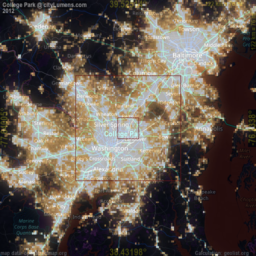
» Earth at Night: Flat Maps 2012, 2016