Chillum night lights from space
Night Light of Chillum (Maryland) from space (United States) Src. Average luminocity for 10x10km area is 98.3831% and for 50x50km: 80.1196%.
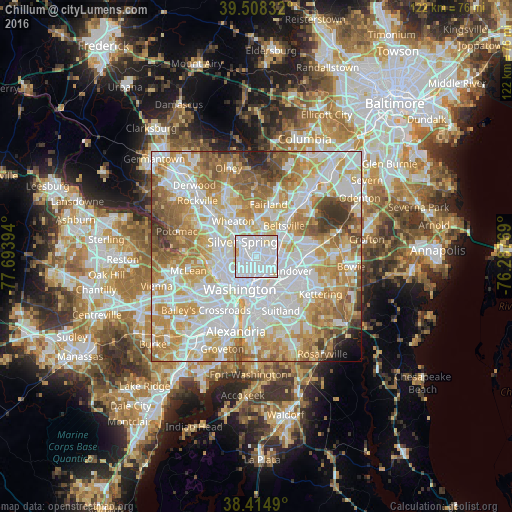
Analysis of Chillum night lights 2016
Square area 10x10 km:
 72.89%
90-99
19.64%80-89
6.49%70-79
0.97%60-69
0%50-59
0%40-49
0%30-39
0%20-29
0%10-19
0%0-9
0%Square area 50x50 km:
25.87%90-99
20.35%80-89
11.67%70-79
13.77%60-69
10.7%50-59
7.6%40-49
3.96%30-39
3%20-29
1.57%10-19
0.88%0-9
0.63%Clear (daylight) street map image can be seen on geolist.org.
Map coordinates:
39° 30' 30" North, 77° 41' 38.2" West
38° 57' 49.4" North, 76° 59' 26.9" West
38° 24' 53.6" North, 76° 17' 15.7" West
Some cities around Chillum sort by population:
• Silver Spring
4.3 km =2.7 mi,  314°
314°
• College Park
5 km =3.1 mi,  67°
67°
• Langley Park
2.9 km =1.8 mi,  16°
16°
• Hyattsville
4 km =2.5 mi,  102°
102°
• Takoma Park
2.1 km =1.3 mi,  317°
317°
• Adelphi
4.7 km =2.9 mi, 20°
• Mount Rainier
3.3 km =2.1 mi,  137°
137°
• Riverdale Park
5.1 km =3.2 mi,  90°
90°
4351383 (p: 33,513)
Sources (retrieved 2019-11-25):
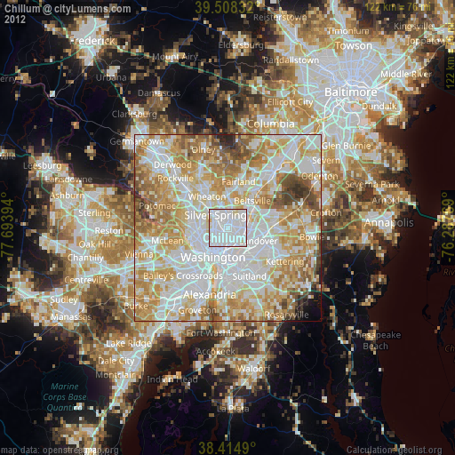
» Earth at Night: Flat Maps 2012, 2016