Elmhurst night lights from space
Night Light of Elmhurst (Illinois) from space (United States) Src. Average luminocity for 10x10km area is 98.1413% and for 50x50km: 89.3685%.
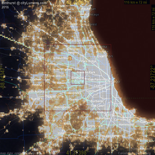
Analysis of Elmhurst night lights 2016
Square area 10x10 km:
 56.98%
90-99
38.1%80-89
4.76%70-79
0.16%60-69
0%50-59
0%40-49
0%30-39
0%20-29
0%10-19
0%0-9
0%Square area 50x50 km:
43.2%90-99
22.83%80-89
13.14%70-79
9.19%60-69
5.55%50-59
2.8%40-49
1.17%30-39
0.53%20-29
0.63%10-19
0.56%0-9
0.42%Clear (daylight) street map image can be seen on geolist.org.
Map coordinates:
42° 25' 14.4" North, 88° 38' 36.5" West
41° 53' 58.1" North, 87° 56' 25.2" West
41° 22' 26.3" North, 87° 14' 14" West
Some cities around Elmhurst sort by population:
• Lombard
6 km =3.7 mi,  248°
248°
• Addison
5.4 km =3.4 mi,  311°
311°
• Villa Park
4.2 km =2.6 mi, 254°
• Bellwood
5.1 km =3.2 mi,  112°
112°
• Bensenville
6.2 km =3.9 mi,  0°
0°
• Northlake
4.2 km =2.6 mi,  61°
61°
• Hillside
3.9 km =2.4 mi,  127°
127°
• Berkeley
3.3 km =2.1 mi, 110°
4891010 (p: 45,957)
Sources (retrieved 2019-11-25):
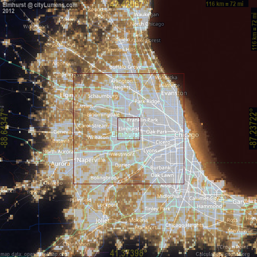
» Earth at Night: Flat Maps 2012, 2016