Villa Park night lights from space
Night Light of Villa Park (Illinois) from space (United States) Src. Average luminocity for 10x10km area is 97.1127% and for 50x50km: 89.4375%.
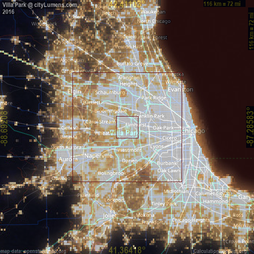
Analysis of Villa Park night lights 2016
Square area 10x10 km:
 44.6%
44.6%90-99
45.56%80-89
7.94%70-79
1.9%60-69
0%50-59
0%40-49
0%30-39
0%20-29
0%10-19
0%0-9
0%Square area 50x50 km:
39.41%90-99
24.25%80-89
13.89%70-79
10.24%60-69
7.03%50-59
3.45%40-49
1.27%30-39
0.24%20-29
0.19%10-19
0.03%0-9
0%Clear (daylight) street map image can be seen on geolist.org.
Map coordinates:
42° 24' 39.7" North, 88° 41' 31.5" West
41° 53' 23.1" North, 87° 59' 20.2" West
41° 21' 51" North, 87° 17' 9" West
Some cities around Villa Park sort by population:
• Elmhurst
4.2 km =2.6 mi,  74°
74°
• Lombard
1.9 km =1.2 mi,  235°
235°
• Addison
4.7 km =2.9 mi,  359°
359°
• Glendale Heights
6.9 km =4.3 mi,  293°
293°
• Glen Ellyn
6.6 km =4.1 mi,  258°
258°
• Hillside
7.3 km =4.5 mi,  100°
100°
• Oak Brook
8 km =5 mi,  141°
141°
• Berkeley
7.1 km =4.4 mi,  90°
90°
4914830 (p: 21,969)
Sources (retrieved 2019-11-25):
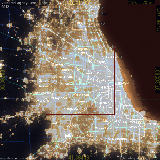
» Earth at Night: Flat Maps 2012, 2016