Adams night lights from space
Night Light of Adams (Massachusetts) from space (United States) Src. Average luminocity for 10x10km area is 7.2076% and for 50x50km: 3.2031%.
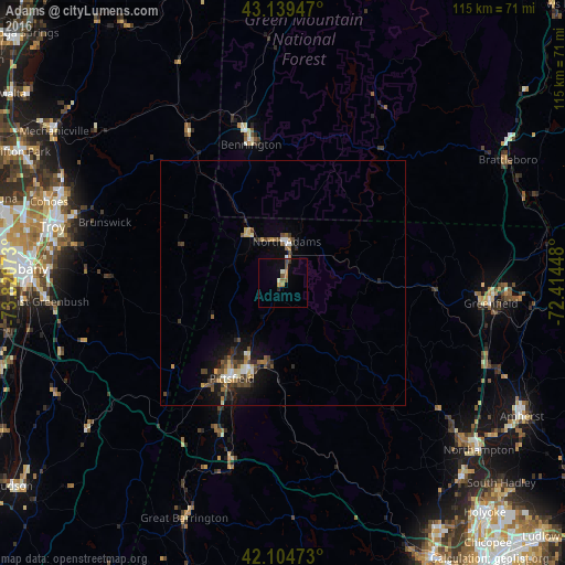
Analysis of Adams night lights 2016
Square area 10x10 km:
 0%
0%90-99
1.52%80-89
0%70-79
1.06%60-69
1.52%50-59
1.97%40-49
1.06%30-39
0.76%20-29
0.61%10-19
1.06%0-9
90.45%Square area 50x50 km:
0.2%90-99
0.37%80-89
0.39%70-79
0.34%60-69
0.37%50-59
0.6%40-49
0.83%30-39
0.57%20-29
0.72%10-19
2.25%0-9
93.36%Clear (daylight) street map image can be seen on geolist.org.
Map coordinates:
43° 8' 22.1" North, 73° 49' 14.6" West
42° 37' 27.3" North, 73° 7' 3.4" West
42° 6' 17" North, 72° 24' 52.1" West
Some cities around Adams sort by population:
• Troy
48.3 km =30 mi,  283°
283°
• Pittsfield
22 km =13.7 mi,  208°
208°
• Greenfield
42.6 km =26.5 mi,  95°
95°
• North Adams
8.6 km =5.3 mi,  4°
4°
• Watervliet
49.1 km =30.5 mi, 283°
• Bennington
29 km =18 mi,  347°
347°
• Montague
48.7 km =30.3 mi, 101°
• Dalton
17.2 km =10.7 mi,  193°
193°
4928733 (p: 5,515)
Sources (retrieved 2019-11-25):
» Earth at Night: Flat Maps 2012, 2016