Bennington night lights from space
Night Light of Bennington (Vermont) from space (United States) Src. Average luminocity for 10x10km area is 12.0111% and for 50x50km: 1.5164%.
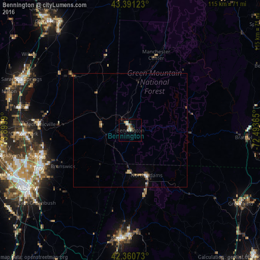
Analysis of Bennington night lights 2016
Square area 10x10 km:
 0.48%
0.48%90-99
3.02%80-89
2.86%70-79
0%60-69
1.43%50-59
2.06%40-49
0.95%30-39
1.75%20-29
2.06%10-19
1.11%0-9
84.29%Square area 50x50 km:
0.07%90-99
0.24%80-89
0.2%70-79
0.13%60-69
0.21%50-59
0.28%40-49
0.25%30-39
0.31%20-29
0.3%10-19
0.26%0-9
97.75%Clear (daylight) street map image can be seen on geolist.org.
Map coordinates:
43° 23' 28.4" North, 73° 53' 59.6" West
42° 52' 41.3" North, 73° 11' 48.4" West
42° 21' 38.6" North, 72° 29' 37.1" West
Some cities around Bennington sort by population:
• Troy
43.7 km =27.2 mi,  247°
247°
• Cohoes
42.6 km =26.5 mi, 254°
• North Adams
21 km =13 mi,  159°
159°
• Watervliet
44.3 km =27.5 mi, 248°
• Dalton
45 km =28 mi,  176°
176°
• Adams
29 km =18 mi,  167°
167°
• Mechanicville
40.1 km =24.9 mi,  273°
273°
• Northumberland
42.2 km =26.2 mi,  311°
311°
5233742 (p: 9,074)
Sources (retrieved 2019-11-25):
» Earth at Night: Flat Maps 2012, 2016