Troy night lights from space
Night Light of Troy (New York) from space (United States) Src. Average luminocity for 10x10km area is 69.4015% and for 50x50km: 22.5788%.
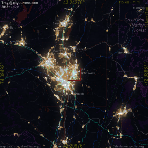
Analysis of Troy night lights 2016
Square area 10x10 km:
 13.03%
90-99
15%80-89
8.33%70-79
14.55%60-69
17.58%50-59
12.58%40-49
4.7%30-39
4.7%20-29
7.73%10-19
1.82%0-9
0%Square area 50x50 km:
3.53%90-99
3.97%80-89
2.6%70-79
2.9%60-69
3.03%50-59
3.72%40-49
4.25%30-39
3.95%20-29
6.56%10-19
9.85%0-9
55.63%Clear (daylight) street map image can be seen on geolist.org.
Map coordinates:
43° 14' 33.9" North, 74° 23' 41.7" West
42° 43' 42.3" North, 73° 41' 30.4" West
42° 12' 35.1" North, 72° 59' 19.2" West
Some cities around Troy sort by population:
• Albany
9.9 km =6.2 mi,  211°
211°
• West Albany
8.7 km =5.4 mi,  234°
234°
• Latham
5.9 km =3.7 mi,  290°
290°
• Cohoes
5.1 km =3.2 mi,  352°
352°
• Roessleville
10.1 km =6.3 mi,  248°
248°
• Watervliet
0.8 km =0.5 mi,  283°
283°
• Rensselaer
10.4 km =6.5 mi,  203°
203°
• Colonie
11.6 km =7.2 mi,  264°
264°
5141502 (p: 49,906)
Sources (retrieved 2019-11-25):
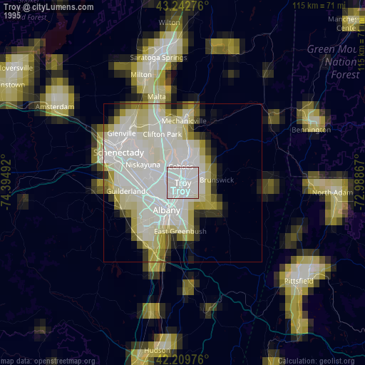
» NASA, Earths city lights 1995
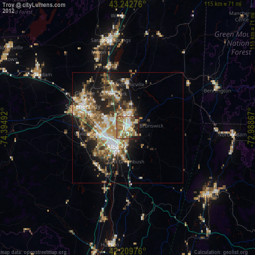
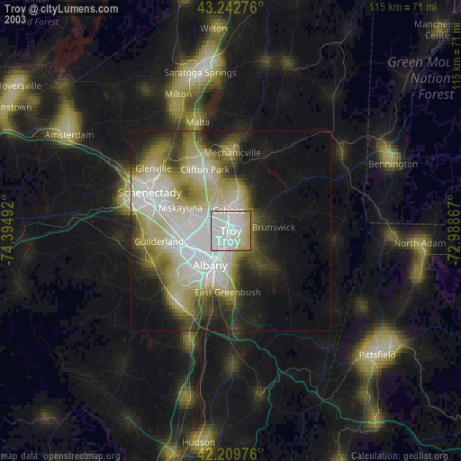
» NASA city lights 2003
» Earth at Night: Flat Maps 2012, 2016