Pader Palwo night lights from space
Night Light of Pader Palwo (Northern Region) from space (Uganda) Src. Average luminocity for 10x10km area is 0% and for 50x50km: 0%.
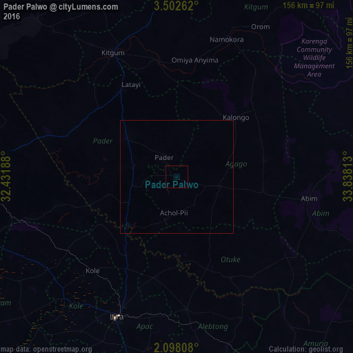
Analysis of Pader Palwo night lights 2016
Square area 10x10 km:
 0%
0%90-99
0%80-89
0%70-79
0%60-69
0%50-59
0%40-49
0%30-39
0%20-29
0%10-19
0%0-9
100%Square area 50x50 km:
0%90-99
0%80-89
0%70-79
0%60-69
0%50-59
0%40-49
0%30-39
0%20-29
0%10-19
0%0-9
100%Clear (daylight) street map image can be seen on geolist.org.
Map coordinates:
3° 30' 9.4" North, 32° 25' 54.8" East
2° 48' 2" North, 33° 8' 6" East
2° 5' 53.1" North, 33° 50' 17.3" East
Some cities around Pader Palwo sort by population:
• Gulu
92.9 km =57.7 mi,  268°
268°
• Lira
66.6 km =41.4 mi,  203°
203°
• Kitgum
59.9 km =37.2 mi,  332°
332°
• Soroti
131.8 km =81.9 mi,  156°
156°
• Pajok, SS
138.8 km =86.2 mi, 328°
• Adjumani
162.5 km =101 mi,  293°
293°
• Kotido
112.6 km =70 mi,  79°
79°
• Apac
113.2 km =70.3 mi,  215°
215°
226866 (p: 11,152)
Sources (retrieved 2019-11-25):
» Earth at Night: Flat Maps 2012, 2016