Soroti night lights from space
Night Light of Soroti (Eastern Region) from space (Uganda) Src. Average luminocity for 10x10km area is 0.5758% and for 50x50km: 0.023%.
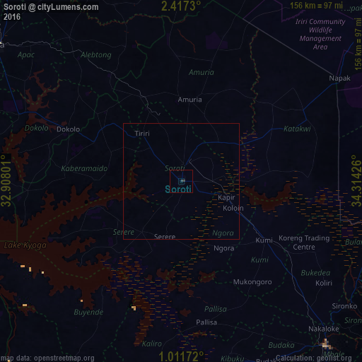
Analysis of Soroti night lights 2016
Square area 10x10 km:
 0%
0%90-99
0%80-89
0%70-79
0%60-69
0%50-59
0%40-49
0%30-39
1.73%20-29
0%10-19
0%0-9
98.27%Square area 50x50 km:
0%90-99
0%80-89
0%70-79
0%60-69
0%50-59
0%40-49
0%30-39
0.07%20-29
0%10-19
0%0-9
99.93%Clear (daylight) street map image can be seen on geolist.org.
Map coordinates:
2° 25' 2.3" North, 32° 54' 28.8" East
1° 42' 52.7" North, 33° 36' 40.1" East
1° 0' 42.2" North, 34° 18' 51.3" East
Some cities around Soroti sort by population:
• Lira
98.9 km =61.5 mi,  306°
306°
• Mbale
94.2 km =58.5 mi,  138°
138°
• Pallisa
64.3 km =40 mi,  170°
170°
• Busembatia
104.2 km =64.7 mi,  179°
179°
• Sironko
88.9 km =55.2 mi,  127°
127°
• Kamuli
101.3 km =62.9 mi,  212°
212°
• Kumi
45.8 km =28.5 mi, 128°
• Kapchorwa
99.6 km =61.9 mi,  110°
110°
226234 (p: 56,400)
Sources (retrieved 2019-11-25):
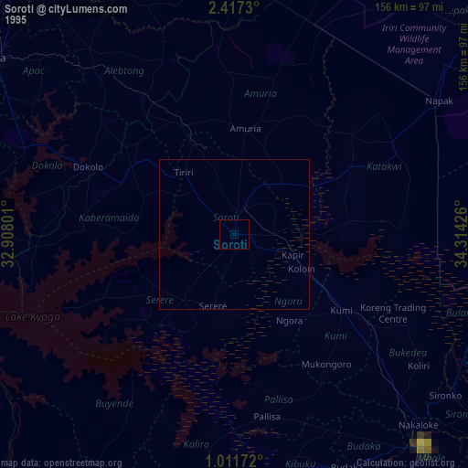
» NASA, Earths city lights 1995
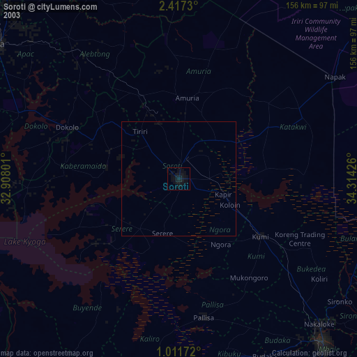
» NASA city lights 2003
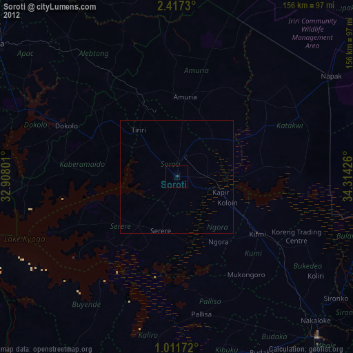
» Earth at Night: Flat Maps 2012, 2016