Apac night lights from space
Night Light of Apac (Northern Region) from space (Uganda) Src. Average luminocity for 10x10km area is 0% and for 50x50km: 0%.
Analysis of Apac night lights 2016
Square area 10x10 km:
 0%
0%90-99
0%80-89
0%70-79
0%60-69
0%50-59
0%40-49
0%30-39
0%20-29
0%10-19
0%0-9
100%Square area 50x50 km:
0%90-99
0%80-89
0%70-79
0%60-69
0%50-59
0%40-49
0%30-39
0%20-29
0%10-19
0%0-9
100%Clear (daylight) street map image can be seen on geolist.org.
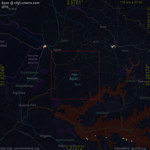
Map coordinates:
2° 40' 41.2" North, 31° 50' 7.8" East
1° 58' 32" North, 32° 32' 19" East
1° 16' 21.8" North, 33° 14' 30.3" East
Some cities around Apac sort by population:
• Gulu
92.7 km =57.6 mi,  343°
343°
• Lira
50.4 km =31.3 mi,  52°
52°
• Soroti
122.7 km =76.2 mi,  103°
103°
• Masindi
97.5 km =60.6 mi,  249°
249°
• Luwero
125.5 km =78 mi,  183°
183°
• Pader Palwo
113.2 km =70.3 mi,  35°
35°
• Masindi Port
59.1 km =36.7 mi,  238°
238°
• Nakasongola
74.7 km =46.4 mi,  187°
187°
235130 (p: 11,776)
Sources (retrieved 2019-11-25):
» Earth at Night: Flat Maps 2012, 2016