Pajok night lights from space
Night Light of Pajok (Imatong) from space (South Sudan) Src. Average luminocity for 10x10km area is 0% and for 50x50km: 0%.

Analysis of Pajok night lights 2016
Square area 10x10 km:
 0%
0%90-99
0%80-89
0%70-79
0%60-69
0%50-59
0%40-49
0%30-39
0%20-29
0%10-19
0%0-9
100%Square area 50x50 km:
0%90-99
0%80-89
0%70-79
0%60-69
0%50-59
0%40-49
0%30-39
0%20-29
0%10-19
0%0-9
100%Clear (daylight) street map image can be seen on geolist.org.
Map coordinates:
4° 33' 58.8" North, 31° 46' 44.4" East
3° 51' 54.4" North, 32° 28' 55.6" East
3° 9' 48" North, 33° 11' 6.9" East
Some cities around Pajok sort by population:
• Gulu, UG
122.9 km =76.4 mi,  189°
189°
• Kitgum, UG
79.2 km =49.2 mi,  145°
145°
• Adjumani, UG
93.9 km =58.3 mi,  234°
234°
• Yumbe, UG
144.1 km =89.5 mi,  252°
252°
• Torit
61.6 km =38.3 mi,  9°
9°
• Moyo, UG
87 km =54.1 mi, 254°
• Pader, UG
121.9 km =75.7 mi,  138°
138°
• Pader Palwo, UG
138.8 km =86.2 mi, 148°
375495 (p: 49,000)
Sources (retrieved 2019-11-25):
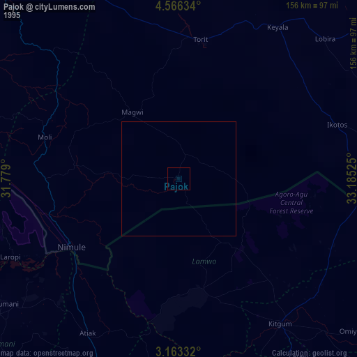
» NASA, Earths city lights 1995
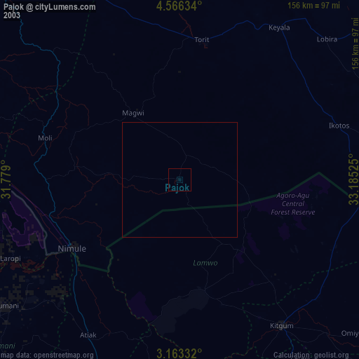
» NASA city lights 2003
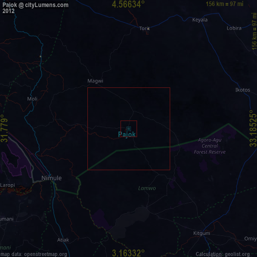
» Earth at Night: Flat Maps 2012, 2016