Adjumani night lights from space
Night Light of Adjumani (Northern Region) from space (Uganda) Src. Average luminocity for 10x10km area is 0% and for 50x50km: 0%.
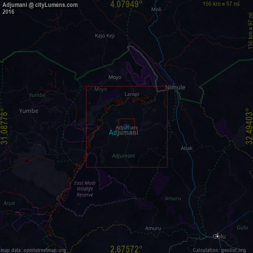

Analysis of Adjumani night lights 2016
Square area 10x10 km:
100  0%
0%
90-99 0%
80-89 0%
70-79 0%
60-69 0%
50-59 0%
40-49 0%
30-39 0%
20-29 0%
10-19 0%
0-9 100%
0%90-99
0%80-89
0%70-79
0%60-69
0%50-59
0%40-49
0%30-39
0%20-29
0%10-19
0%0-9
100%Square area 50x50 km:
100 0%
90-99 0%
80-89 0%
70-79 0%
60-69 0%
50-59 0%
40-49 0%
30-39 0%
20-29 0%
10-19 0%
0-9 100%
0%90-99
0%80-89
0%70-79
0%60-69
0%50-59
0%40-49
0%30-39
0%20-29
0%10-19
0%0-9
100%Clear (daylight) street map image can be seen on geolist.org.
Map coordinates:
4° 4' 46.2" North, 31° 5' 16" East
3° 22' 40.3" North, 31° 47' 27.2" East
2° 40' 32.6" North, 32° 29' 38.5" East
Some cities around Adjumani sort by population:
• Gulu
87.6 km =54.4 mi,  139°
139°
• Kitgum
122.1 km =75.9 mi,  95°
95°
• Arua
105.5 km =65.6 mi,  247°
247°
• Pajok, SS
93.9 km =58.3 mi,  54°
54°
• Nebbi
126.8 km =78.8 mi,  217°
217°
• Paidha
139.4 km =86.6 mi, 219°
• Yumbe
61.2 km =38 mi,  279°
279°
• Moyo
32.3 km =20.1 mi,  346°
346°
235489 (p: 28,700)
Sources (retrieved 2019-11-25):
» Earth at Night: Flat Maps 2012, 2016