Kitgum night lights from space
Night Light of Kitgum (Northern Region) from space (Uganda) Src. Average luminocity for 10x10km area is 0% and for 50x50km: 0%.
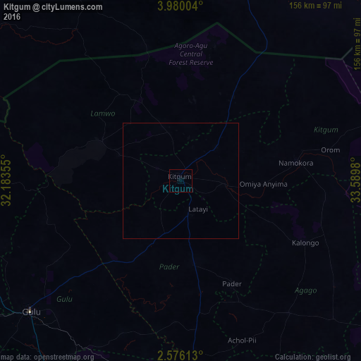

Analysis of Kitgum night lights 2016
Square area 10x10 km:
 0%
0%90-99
0%80-89
0%70-79
0%60-69
0%50-59
0%40-49
0%30-39
0%20-29
0%10-19
0%0-9
100%Square area 50x50 km:
0%90-99
0%80-89
0%70-79
0%60-69
0%50-59
0%40-49
0%30-39
0%20-29
0%10-19
0%0-9
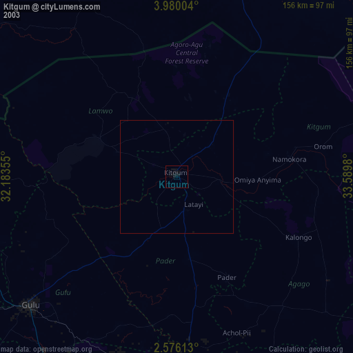
100%Clear (daylight) street map image can be seen on geolist.org.
Map coordinates:
3° 58' 48.1" North, 32° 11' 0.8" East
3° 16' 42" North, 32° 53' 12" East
2° 34' 34.1" North, 33° 35' 23.3" East
Some cities around Kitgum sort by population:
• Gulu
86 km =53.4 mi,  229°
229°
• Lira
114.4 km =71.1 mi,  179°
179°
• Pajok, SS
79.2 km =49.2 mi,  325°
325°
• Adjumani
122.1 km =75.9 mi,  275°
275°
• Torit, SS
130.8 km =81.3 mi,  344°
344°
• Moyo
135.8 km =84.4 mi,  288°
288°
• Pader
44.6 km =27.7 mi,  124°
124°
• Pader Palwo
59.9 km =37.2 mi,  152°
152°
230893 (p: 56,891)
Sources (retrieved 2019-11-25):
» NASA, Earths city lights 1995
» NASA city lights 2003
» Earth at Night: Flat Maps 2012, 2016