Gulu night lights from space
Night Light of Gulu (Northern Region) from space (Uganda) Src. Average luminocity for 10x10km area is 2.0249% and for 50x50km: 0.078%.
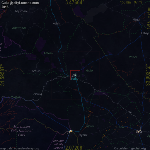
Analysis of Gulu night lights 2016
Square area 10x10 km:
 0%
0%90-99
0%80-89
0.91%70-79
0%60-69
0%50-59
0%40-49
0.23%30-39
0.68%20-29
2.72%10-19
0%0-9
95.46%Square area 50x50 km:
0%90-99
0%80-89
0.03%70-79
0%60-69
0%50-59
0%40-49
0.01%30-39
0.03%20-29
0.1%10-19
0%0-9
99.83%Clear (daylight) street map image can be seen on geolist.org.
Map coordinates:
3° 28' 35.9" North, 31° 35' 45.1" East
2° 46' 28.5" North, 32° 17' 56.4" East
2° 4' 19.5" North, 33° 0' 7.6" East
Some cities around Gulu sort by population:
• Lira
88.6 km =55.1 mi,  131°
131°
• Kitgum
86 km =53.4 mi,  49°
49°
• Adjumani
87.6 km =54.4 mi,  319°
319°
• Moyo
117.4 km =72.9 mi,  327°
327°
• Apac
92.7 km =57.6 mi,  163°
163°
• Pader
106.4 km =66.1 mi,  73°
73°
• Pader Palwo
92.9 km =57.7 mi,  88°
88°
• Masindi Port
122.2 km =75.9 mi,  191°
191°
233346 (p: 146,858)
Sources (retrieved 2019-11-25):
» NASA, Earths city lights 1995
» NASA city lights 2003
» Earth at Night: Flat Maps 2012, 2016