Kotido night lights from space
Night Light of Kotido (Northern Region) from space (Uganda) Src. Average luminocity for 10x10km area is 0% and for 50x50km: 0%.
Analysis of Kotido night lights 2016
Square area 10x10 km:
 0%
0%90-99
0%80-89
0%70-79
0%60-69
0%50-59
0%40-49
0%30-39
0%20-29
0%10-19
0%0-9
100%Square area 50x50 km:
0%90-99
0%80-89
0%70-79
0%60-69
0%50-59
0%40-49
0%30-39
0%20-29
0%10-19
0%0-9
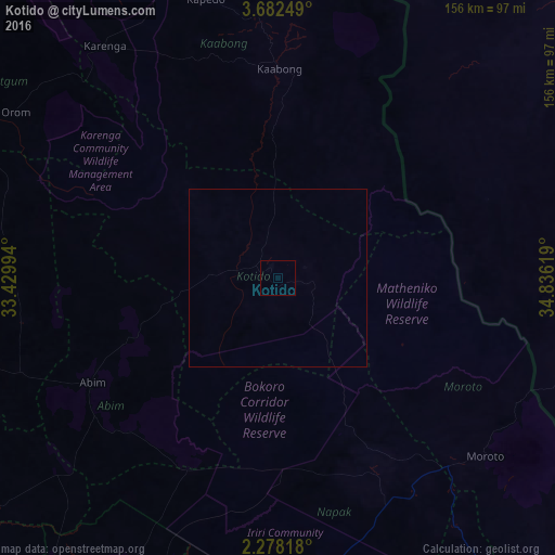
100%Clear (daylight) street map image can be seen on geolist.org.
Map coordinates:
3° 40' 57" North, 33° 25' 47.8" East
2° 58' 50" North, 34° 7' 59" East
2° 16' 41.4" North, 34° 50' 10.3" East
Some cities around Kotido sort by population:
• Lira
159.3 km =99 mi,  239°
239°
• Kitgum
142.3 km =88.4 mi,  283°
283°
• Soroti
152.2 km =94.6 mi,  202°
202°
• Lodwar, KE
163.2 km =101.4 mi,  84°
84°
• Pader
102 km =63.4 mi,  274°
274°
• Kumi
170.4 km =105.9 mi,  187°
187°
• Pader Palwo
112.6 km =70 mi,  259°
259°
• Moroto
77.3 km =48 mi,  129°
129°
230617 (p: 18,800)
Sources (retrieved 2019-11-25):
» Earth at Night: Flat Maps 2012, 2016