Moyo night lights from space
Night Light of Moyo (Northern Region) from space (Uganda) Src. Average luminocity for 10x10km area is 0% and for 50x50km: 0%.
Analysis of Moyo night lights 2016
Square area 10x10 km:
 0%
0%90-99
0%80-89
0%70-79
0%60-69
0%50-59
0%40-49
0%30-39
0%20-29
0%10-19
0%0-9
100%Square area 50x50 km:
0%90-99
0%80-89
0%70-79
0%60-69
0%50-59
0%40-49
0%30-39
0%20-29
0%10-19
0%0-9
100%Clear (daylight) street map image can be seen on geolist.org.
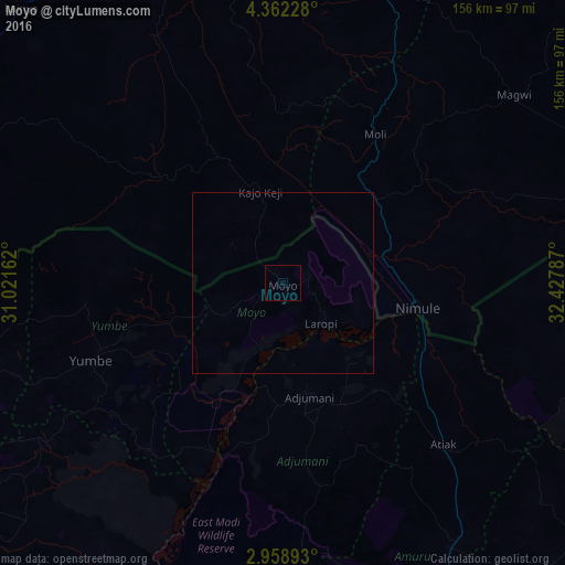
Map coordinates:
4° 21' 44.2" North, 31° 1' 17.8" East
3° 39' 39.2" North, 31° 43' 29.1" East
2° 57' 32.1" North, 32° 25' 40.3" East
Some cities around Moyo sort by population:
• Juba, SS
133.3 km =82.8 mi,  353°
353°
• Gulu
117.4 km =72.9 mi,  147°
147°
• Arua
115 km =71.5 mi,  231°
231°
• Pajok, SS
87 km =54.1 mi,  74°
74°
• Yei, SS
125.9 km =78.2 mi,  292°
292°
• Adjumani
32.3 km =20.1 mi,  166°
166°
• Yumbe
57.3 km =35.6 mi,  247°
247°
• Torit, SS
125.6 km =78 mi,  48°
48°
229059 (p: 18,800)
Sources (retrieved 2019-11-25):
» Earth at Night: Flat Maps 2012, 2016