Yumbe night lights from space
Night Light of Yumbe (Northern Region) from space (Uganda) Src. Average luminocity for 10x10km area is 0% and for 50x50km: 0%.

Analysis of Yumbe night lights 2016
Square area 10x10 km:
100  0%
0%
90-99 0%
80-89 0%
70-79 0%
60-69 0%
50-59 0%
40-49 0%
30-39 0%
20-29 0%
10-19 0%
0-9 100%
0%90-99
0%80-89
0%70-79
0%60-69
0%50-59
0%40-49
0%30-39
0%20-29
0%10-19
0%0-9
100%Square area 50x50 km:
100 0%
90-99 0%
80-89 0%
70-79 0%
60-69 0%
50-59 0%
40-49 0%
30-39 0%
20-29 0%
10-19 0%
0-9 100%
0%90-99
0%80-89
0%70-79
0%60-69
0%50-59
0%40-49
0%30-39
0%20-29
0%10-19
0%0-9
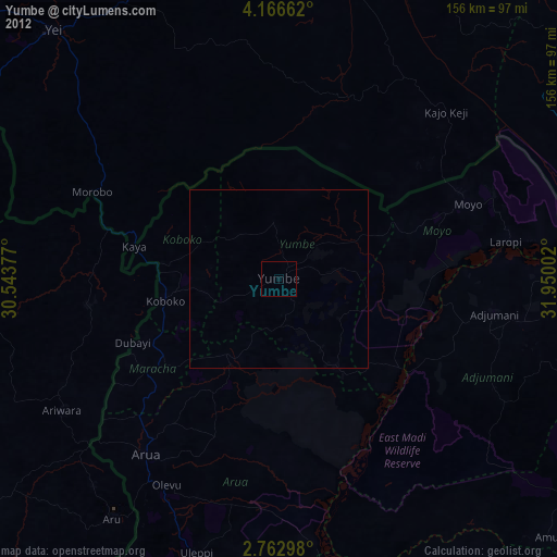
100%Clear (daylight) street map image can be seen on geolist.org.
Map coordinates:
4° 9' 59.8" North, 30° 32' 37.6" East
3° 27' 54.2" North, 31° 14' 48.8" East
2° 45' 46.7" North, 31° 57' 0.1" East
Some cities around Yumbe sort by population:
• Gulu
139.8 km =86.9 mi,  123°
123°
• Arua
61.9 km =38.5 mi,  217°
217°
• Pajok, SS
144.1 km =89.5 mi,  72°
72°
• Yei, SS
94.4 km =58.7 mi,  317°
317°
• Nebbi
111.1 km =69 mi,  189°
189°
• Adjumani
61.2 km =38 mi,  99°
99°
• Paidha
120.1 km =74.6 mi, 193°
• Moyo
57.3 km =35.6 mi, 67°
225835 (p: 24,300)
Sources (retrieved 2019-11-25):
» Earth at Night: Flat Maps 2012, 2016