Torit night lights from space
Night Light of Torit (Imatong) from space (South Sudan) Src. Average luminocity for 10x10km area is 0.5909% and for 50x50km: 0.0245%.
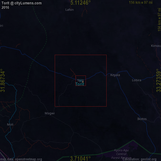
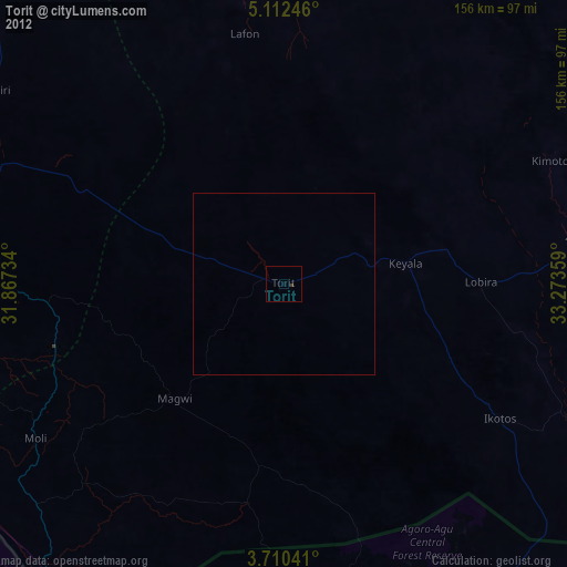
Analysis of Torit night lights 2016
Square area 10x10 km:
 0%
0%90-99
0%80-89
0%70-79
0%60-69
0.83%50-59
0%40-49
0%30-39
0%20-29
0%10-19
0%0-9
99.17%Square area 50x50 km:
0%90-99
0%80-89
0%70-79
0%60-69
0.03%50-59
0%40-49
0%30-39
0%20-29
0%10-19
0%0-9
99.97%Clear (daylight) street map image can be seen on geolist.org.
Map coordinates:
5° 6' 44.9" North, 31° 52' 2.4" East
4° 24' 42.4" North, 32° 34' 13.7" East
3° 42' 37.5" North, 33° 16' 24.9" East
Some cities around Torit sort by population:
• Juba
119.9 km =74.5 mi,  294°
294°
• Kitgum, UG
130.8 km =81.3 mi,  164°
164°
• Pajok
61.6 km =38.3 mi,  189°
189°
• Adjumani, UG
143.9 km =89.4 mi,  216°
216°
• Moyo, UG
125.6 km =78 mi,  228°
228°
• Pader, UG
167.5 km =104.1 mi,  154°
154°
• Kapoeta
120 km =74.6 mi,  70°
70°
• Terekeka
146.3 km =90.9 mi,  321°
321°
365742 (p: 20,048)
Sources (retrieved 2019-11-25):
» Earth at Night: Flat Maps 2012, 2016