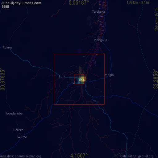
Juba night lights from space
Night Light of Juba from space (South Sudan) Src. Average luminocity for 10x10km area is 16.3905% and for 50x50km: 0.7537%.
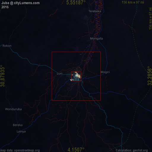
Analysis of Juba night lights 2016
Square area 10x10 km:
 1.65%
1.65%90-99
2.48%80-89
1.65%70-79
4.34%60-69
1.65%50-59
2.27%40-49
1.65%30-39
2.89%20-29
1.24%10-19
1.86%0-9
78.31%Square area 50x50 km:
0.07%90-99
0.1%80-89
0.07%70-79
0.18%60-69
0.1%50-59
0.09%40-49
0.07%30-39
0.12%20-29
0.05%10-19
0.08%0-9
99.07%Clear (daylight) street map image can be seen on geolist.org.
Map coordinates:
5° 33' 6.7" North, 30° 52' 45.7" East
4° 51' 5.9" North, 31° 34' 56.9" East
4° 9' 2.5" North, 32° 17' 8.2" East
Some cities around Juba sort by population:
• Pajok
148.3 km =92.1 mi,  137°
137°
• Yei
131.1 km =81.5 mi,  230°
230°
• Bor
150.9 km =93.8 mi,  358°
358°
• Yumbe, UG
158.6 km =98.5 mi,  193°
193°
• Torit
119.9 km =74.5 mi,  114°
114°
• Moyo, UG
133.3 km =82.8 mi,  173°
173°
• Mundri
149.8 km =93.1 mi,  291°
291°
• Terekeka
68.4 km =42.5 mi,  15°
15°
373303 (p: 450,000)
Sources (retrieved 2019-11-25):
» NASA, Earths city lights 1995
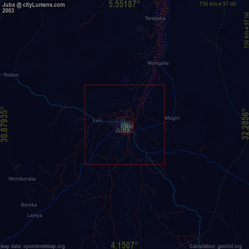
» NASA city lights 2003
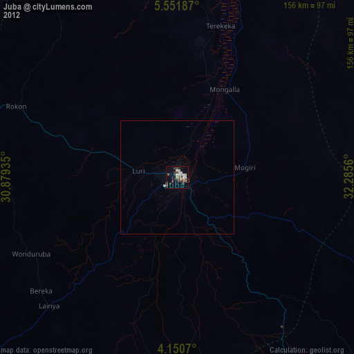
» Earth at Night: Flat Maps 2012, 2016