Arua night lights from space
Night Light of Arua (Northern Region) from space (Uganda) Src. Average luminocity for 10x10km area is 0% and for 50x50km: 0%.
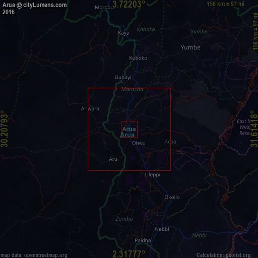

Analysis of Arua night lights 2016
Square area 10x10 km:
 0%
0%90-99
0%80-89
0%70-79
0%60-69
0%50-59
0%40-49
0%30-39
0%20-29
0%10-19
0%0-9
100%Square area 50x50 km:
0%90-99
0%80-89
0%70-79
0%60-69
0%50-59
0%40-49
0%30-39
0%20-29
0%10-19
0%0-9
100%Clear (daylight) street map image can be seen on geolist.org.
Map coordinates:
3° 43' 19.3" North, 30° 12' 28.5" East
3° 1' 12.5" North, 30° 54' 39.8" East
2° 19' 4" North, 31° 36' 51" East
Some cities around Arua sort by population:
• Gulu
156.5 km =97.2 mi,  100°
100°
• Yei, SS
122.3 km =76 mi,  347°
347°
• Nebbi
63.4 km =39.4 mi,  161°
161°
• Adjumani
105.5 km =65.6 mi,  67°
67°
• Paidha
67.6 km =42 mi,  172°
172°
• Watsa, CD
152.7 km =94.9 mi,  270°
270°
• Yumbe
61.9 km =38.5 mi,  37°
37°
• Moyo
115 km =71.5 mi,  51°
51°
235039 (p: 55,585)
Sources (retrieved 2019-11-25):
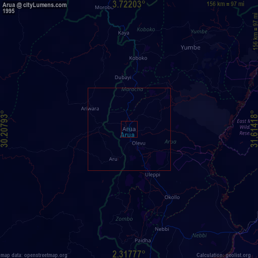
» NASA, Earths city lights 1995
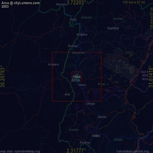
» NASA city lights 2003
» Earth at Night: Flat Maps 2012, 2016