Paidha night lights from space
Night Light of Paidha (Northern Region) from space (Uganda) Src. Average luminocity for 10x10km area is 0% and for 50x50km: 0%.
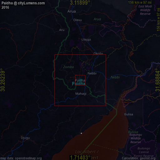
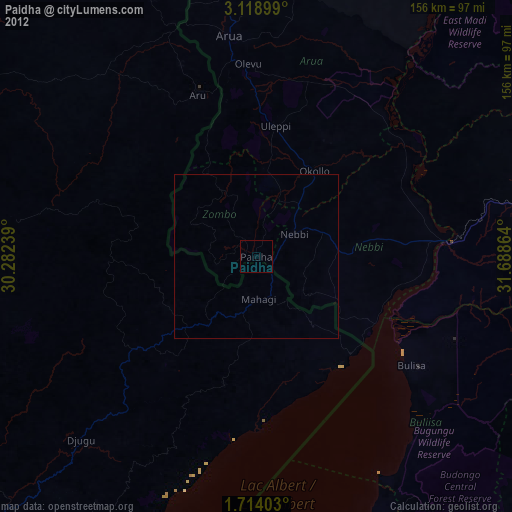
Analysis of Paidha night lights 2016
Square area 10x10 km:
 0%
0%90-99
0%80-89
0%70-79
0%60-69
0%50-59
0%40-49
0%30-39
0%20-29
0%10-19
0%0-9
100%Square area 50x50 km:
0%90-99
0%80-89
0%70-79
0%60-69
0%50-59
0%40-49
0%30-39
0%20-29
0%10-19
0%0-9
100%Clear (daylight) street map image can be seen on geolist.org.
Map coordinates:
3° 7' 8.4" North, 30° 16' 56.6" East
2° 25' 0.1" North, 30° 59' 7.8" East
1° 42' 50.5" North, 31° 41' 19.1" East
Some cities around Paidha sort by population:
• Bunia, CD
125.4 km =77.9 mi,  220°
220°
• Arua
67.6 km =42 mi,  352°
352°
• Hoima
116.7 km =72.5 mi,  159°
159°
• Masindi
115.7 km =71.9 mi,  135°
135°
• Nebbi
13.4 km =8.3 mi,  59°
59°
• Adjumani
139.4 km =86.6 mi,  39°
39°
• Yumbe
120.1 km =74.6 mi,  13°
13°
• Kigorobya
96 km =59.7 mi, 158°
226853 (p: 28,348)
Sources (retrieved 2019-11-25):
» Earth at Night: Flat Maps 2012, 2016