Zolotonosha night lights from space
Night Light of Zolotonosha (Cherkasy) from space (Ukraine) Src. Average luminocity for 10x10km area is 1.0428% and for 50x50km: 0.6563%.

Analysis of Zolotonosha night lights 2016
Square area 10x10 km:
 0%
0%90-99
0%80-89
0%70-79
0%60-69
0%50-59
0%40-49
0.67%30-39
1.2%20-29
0.27%10-19
1.07%0-9
96.79%Square area 50x50 km:
0.02%90-99
0%80-89
0.06%70-79
0.08%60-69
0.14%50-59
0.12%40-49
0.15%30-39
0.09%20-29
0.16%10-19
0.96%0-9
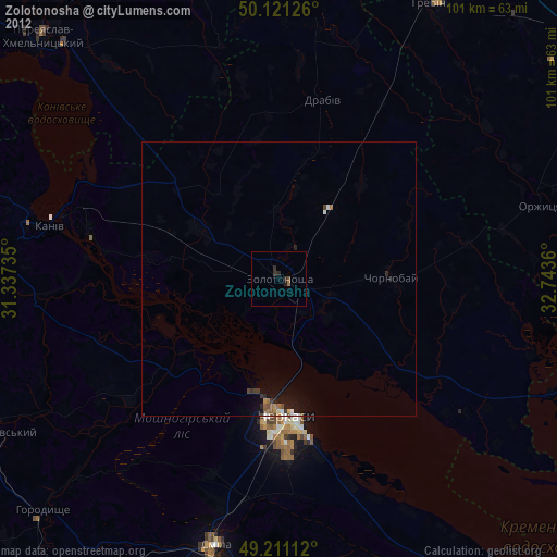
98.22%Clear (daylight) street map image can be seen on geolist.org.
Map coordinates:
50° 7' 16.5" North, 31° 20' 14.5" East
49° 40' 6" North, 32° 2' 25.7" East
49° 12' 40" North, 32° 44' 37" East
Some cities around Zolotonosha sort by population:
• Cherkasy
26.7 km =16.6 mi,  176°
176°
• Smila
50.8 km =31.6 mi,  192°
192°
• Kaniv
42.8 km =26.6 mi,  282°
282°
• Hrebinka
57.4 km =35.7 mi,  29°
29°
• Chervona Sloboda
33.9 km =21.1 mi,  165°
165°
• Chornobay
20.8 km =12.9 mi,  90°
90°
• Ruska Poliana
29.3 km =18.2 mi,  197°
197°
• Drabiv
33.3 km =20.7 mi,  12°
12°
686875 (p: 27,722)
Sources (retrieved 2019-11-25):
» Earth at Night: Flat Maps 2012, 2016