Chornobay night lights from space
Night Light of Chornobay (Cherkasy) from space (Ukraine) Src. Average luminocity for 10x10km area is 0.1157% and for 50x50km: 0.606%.
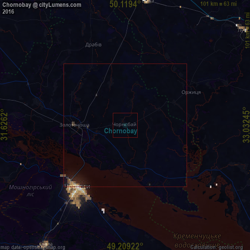
Analysis of Chornobay night lights 2016
Square area 10x10 km:
 0%
0%90-99
0%80-89
0%70-79
0%60-69
0%50-59
0%40-49
0%30-39
0%20-29
0%10-19
0.55%0-9
99.45%Square area 50x50 km:
0.02%90-99
0%80-89
0.06%70-79
0.08%60-69
0.12%50-59
0.09%40-49
0.12%30-39
0.09%20-29
0.18%10-19
0.94%0-9
98.3%Clear (daylight) street map image can be seen on geolist.org.
Map coordinates:
50° 7' 9.8" North, 31° 37' 34.3" East
49° 39' 59.2" North, 32° 19' 45.6" East
49° 12' 33.2" North, 33° 1' 56.8" East
Some cities around Chornobay sort by population:
• Cherkasy
32.7 km =20.3 mi,  216°
216°
• Smila
58.8 km =36.5 mi,  212°
212°
• Lubny
61.7 km =38.3 mi,  50°
50°
• Zolotonosha
20.8 km =12.9 mi,  270°
270°
• Hrebinka
50.7 km =31.5 mi,  8°
8°
• Chervona Sloboda
34.9 km =21.7 mi,  200°
200°
• Ruska Poliana
40.5 km =25.2 mi,  226°
226°
• Drabiv
35.4 km =22 mi,  337°
337°
710716 (p: 8,053)
Sources (retrieved 2019-11-25):
» Earth at Night: Flat Maps 2012, 2016