Drabiv night lights from space
Night Light of Drabiv (Cherkasy) from space (Ukraine) Src. Average luminocity for 10x10km area is 0% and for 50x50km: 0.1759%.
Analysis of Drabiv night lights 2016
Square area 10x10 km:
 0%
0%90-99
0%80-89
0%70-79
0%60-69
0%50-59
0%40-49
0%30-39
0%20-29
0%10-19
0%0-9
100%Square area 50x50 km:
0%90-99
0.06%80-89
0.03%70-79
0.02%60-69
0.04%50-59
0%40-49
0.02%30-39
0%20-29
0.04%10-19
0.02%0-9
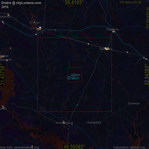
99.75%Clear (daylight) street map image can be seen on geolist.org.
Map coordinates:
50° 24' 37.8" North, 31° 26' 15.3" East
49° 57' 37" North, 32° 8' 26.5" East
49° 30' 21" North, 32° 50' 37.8" East
Some cities around Drabiv sort by population:
• Cherkasy
59.4 km =36.9 mi,  185°
185°
• Pereiaslav-Khmelnytskyi
50.8 km =31.6 mi,  283°
283°
• Zolotonosha
33.3 km =20.7 mi, 192°
• Kaniv
54 km =33.6 mi,  244°
244°
• Yahotyn
44.6 km =27.7 mi,  322°
322°
• Pyriatyn
40.8 km =25.4 mi,  39°
39°
• Hrebinka
27.4 km =17 mi,  50°
50°
• Chornobay
35.4 km =22 mi,  157°
157°
709643 (p: 7,011)
Sources (retrieved 2019-11-25):
» Earth at Night: Flat Maps 2012, 2016