Vovchans’k night lights from space
Night Light of Vovchans’k (Kharkiv) from space (Ukraine) Src. Average luminocity for 10x10km area is 2.5775% and for 50x50km: 1.0997%.
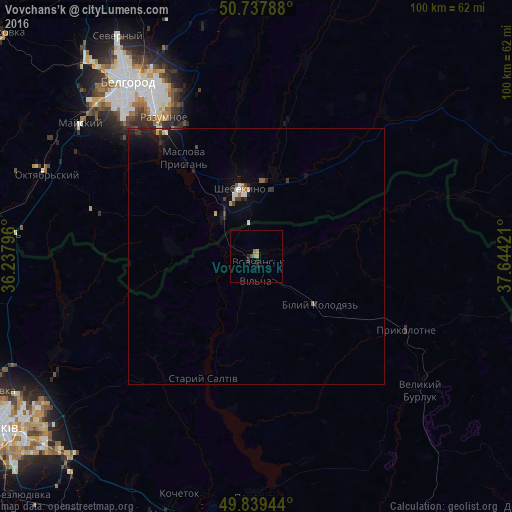
Analysis of Vovchans’k night lights 2016
Square area 10x10 km:
 0%
0%90-99
0%80-89
0%70-79
1.07%60-69
1.07%50-59
0%40-49
0.53%30-39
0%20-29
2.14%10-19
0%0-9
95.19%Square area 50x50 km:
0.08%90-99
0.14%80-89
0.09%70-79
0.11%60-69
0.13%50-59
0.07%40-49
0.13%30-39
0.25%20-29
0.41%10-19
0.84%0-9
97.75%Clear (daylight) street map image can be seen on geolist.org.
Map coordinates:
50° 44' 16.4" North, 36° 14' 16.7" East
50° 17' 26.8" North, 36° 56' 27.9" East
49° 50' 22" North, 37° 38' 39.2" East
Some cities around Vovchans’k sort by population:
• Belgorod, RU
43.8 km =27.2 mi,  324°
324°
• Shebekino, RU
13.4 km =8.3 mi,  351°
351°
• Chuhuyiv
53.7 km =33.4 mi,  199°
199°
• Razumnoye, RU
32.6 km =20.3 mi,  326°
326°
• Severnyy, RU
51 km =31.7 mi, 327°
• Mayskiy, RU
42.6 km =26.5 mi,  306°
306°
• Maslova Pristan’, RU
24.3 km =15.1 mi, 319°
• Novaya Tavolzhanka, RU
10.4 km =6.5 mi, 310°
689304 (p: 19,486)
Sources (retrieved 2019-11-25):
» Earth at Night: Flat Maps 2012, 2016