Shebekino night lights from space
Night Light of Shebekino (Belgorod Oblast) from space (Russia) Src. Average luminocity for 10x10km area is 13.0546% and for 50x50km: 5.6604%.
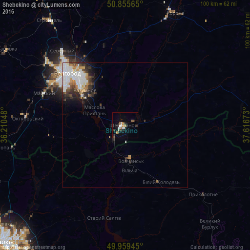
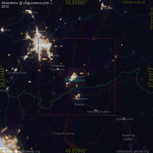
Analysis of Shebekino night lights 2016
Square area 10x10 km:
 1.82%
1.82%90-99
2.24%80-89
0.98%70-79
1.26%60-69
1.54%50-59
1.68%40-49
1.12%30-39
3.08%20-29
1.82%10-19
2.8%0-9
81.65%Square area 50x50 km:
1.75%90-99
1.26%80-89
0.37%70-79
0.47%60-69
0.62%50-59
0.38%40-49
0.61%30-39
0.89%20-29
1.26%10-19
1.57%0-9
90.82%Clear (daylight) street map image can be seen on geolist.org.
Map coordinates:
50° 51' 20.3" North, 36° 12' 37.7" East
50° 24' 34.8" North, 36° 54' 49" East
49° 57' 34" North, 37° 37' 0.2" East
Some cities around Shebekino sort by population:
• Belgorod
32.5 km =20.2 mi,  313°
313°
• Vovchans’k, UA
13.4 km =8.3 mi,  171°
171°
• Razumnoye
21.3 km =13.2 mi, 310°
• Severnyy
39.1 km =24.3 mi,  319°
319°
• Mayskiy
34.4 km =21.4 mi,  290°
290°
• Korocha
48.8 km =30.3 mi,  23°
23°
• Maslova Pristan’
14.7 km =9.1 mi, 291°
• Novaya Tavolzhanka
8.8 km =5.5 mi,  222°
222°
495112 (p: 45,194)
Sources (retrieved 2019-11-25):
» Earth at Night: Flat Maps 2012, 2016